Distance to Hog Island, North Carolina

Calculating Your Route
Just a moment while we process your request...
Location Information
-
Full AddressHog Island, North Carolina 28560
-
Coordinates35.1729383, -77.094116
-
LocationNorth Carolina , US
-
TimezoneAmerica/New_York
-
Current Local Time2:24:50 AM America/New_YorkSaturday, May 31, 2025
-
Page Views0
Nearby Places
Found 10 places within 50 miles

Washington Forks
2.2 mi
3.5 km
Washington Forks, New Bern, NC 28560
Get directions
Spring Garden
4.1 mi
6.6 km
Spring Garden, NC 28562
Get directions
Chip
4.6 mi
7.4 km
Chip, NC 28586
Get directions

New Bern
5.3 mi
8.5 km
New Bern, NC
Get directions

Bridgeton
5.5 mi
8.9 km
Bridgeton, NC
Get directions
Ernul
5.6 mi
9.0 km
Ernul, NC 28527
Get directions
Union Point
5.9 mi
9.5 km
Union Point, New Bern, NC 28560
Get directions

Trent Woods
6.3 mi
10.1 km
Trent Woods, NC 28562
Get directions

James City
6.7 mi
10.8 km
James City, NC
Get directions

Tuscarora
6.8 mi
10.9 km
Tuscarora, NC 28562
Get directions
Location Links
Local Weather
Weather Information
Coming soon!
Location Map
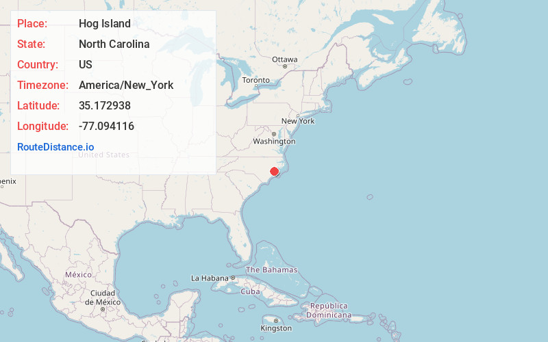
Static map view of Hog Island, North Carolina
Browse Places by Distance
Places within specific distances from Hog Island
Short Distances
Long Distances
Click any distance to see all places within that range from Hog Island. Distances shown in miles (1 mile ≈ 1.61 kilometers).