Distance to Hogarty, Wisconsin

Calculating Your Route
Just a moment while we process your request...
Location Information
-
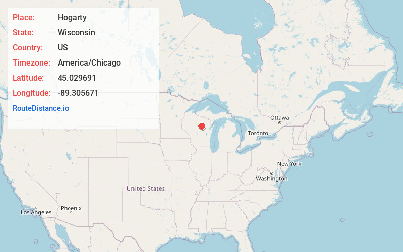
Full AddressHogarty, WI 54408
-
Coordinates45.0296907, -89.305671
-
LocationHogarty , Wisconsin , US
-
TimezoneAmerica/Chicago
-
Current Local Time4:14:38 PM America/ChicagoThursday, July 3, 2025
-
Page Views0
About Hogarty
Hogarty is an unincorporated community located in the towns of Harrison and Plover, Marathon County, Wisconsin, United States. Hogarty is located on the Eau Claire River at the junction of Wisconsin Highway 52 and County Highway Y, 16.5 miles east-northeast of Wausau.
Nearby Places
Found 10 places within 50 miles

Snell
2.2 mi
3.5 km
Snell, WI 54409
Get directions
Kalinke
4.5 mi
7.2 km
Kalinke, WI 54408
Get directions

Aniwa
4.7 mi
7.6 km
Aniwa, WI
Get directions
Glandon
7.2 mi
11.6 km
Glandon, WI 54403
Get directions
Birnamwood
8.2 mi
13.2 km
Birnamwood, WI 54414
Get directions

Hatley
10.0 mi
16.1 km
Hatley, WI 54440
Get directions
Norrie
10.3 mi
16.6 km
Norrie, WI 54414
Get directions
Nutterville
10.5 mi
16.9 km
Nutterville, WI 54403
Get directions

Antigo
10.7 mi
17.2 km
Antigo, WI 54409
Get directions
Ringle
11.2 mi
18.0 km
Ringle, WI 54471
Get directions
Location Links
Local Weather
Weather Information
Coming soon!
Location Map
Static map view of Hogarty, Wisconsin
Browse Places by Distance
Places within specific distances from Hogarty
Short Distances
Long Distances
Click any distance to see all places within that range from Hogarty. Distances shown in miles (1 mile ≈ 1.61 kilometers).