Distance to Hogsett, West Virginia

Calculating Your Route
Just a moment while we process your request...
Location Information
-
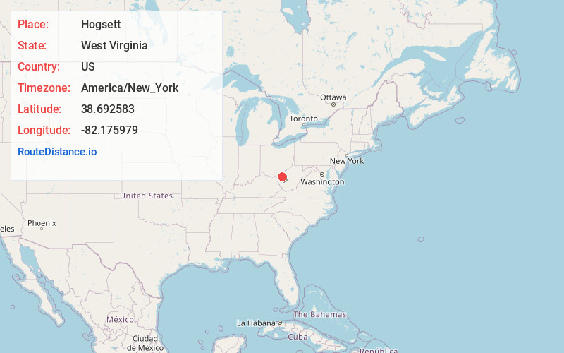
Full AddressHogsett, WV 25515
-
Coordinates38.692583, -82.1759785
-
LocationWest Virginia , US
-
TimezoneAmerica/New_York
-
Current Local Time10:37:41 AM America/New_YorkThursday, June 19, 2025
-
Page Views0
About Hogsett
Hogsett is an unincorporated community on the east bank of the Ohio River in Mason County, West Virginia, United States. It is located on West Virginia Route 2, some 10.7 miles south-southwest of Point Pleasant at the mouth of Flatfoot Creek. The community once had a post office, which is now closed.
Nearby Places
Found 10 places within 50 miles

Eureka
1.3 mi
2.1 km
Eureka, Clay Township, OH 45631
Get directions
Apple Grove
1.9 mi
3.1 km
Apple Grove, WV 25502
Get directions
Raccoon Island
2.2 mi
3.5 km
Raccoon Island, Clay Township, OH 45631
Get directions
Bladen
2.3 mi
3.7 km
Bladen, Ohio Township, OH 45631
Get directions
Mohrtown
4.1 mi
6.6 km
Mohrtown, WV 25515
Get directions

Ashton
4.8 mi
7.7 km
Ashton, WV 25503
Get directions
Arlee
5.2 mi
8.4 km
Arlee, WV 25106
Get directions

Gallipolis Ferry
5.5 mi
8.9 km
Gallipolis Ferry, WV 25515
Get directions
Mercerville
5.6 mi
9.0 km
Mercerville, Guyan Township, OH 45623
Get directions

Glenwood
7.0 mi
11.3 km
Glenwood, WV 25520
Get directions
Location Links
Local Weather
Weather Information
Coming soon!
Location Map
Static map view of Hogsett, West Virginia
Browse Places by Distance
Places within specific distances from Hogsett
Short Distances
Long Distances
Click any distance to see all places within that range from Hogsett. Distances shown in miles (1 mile ≈ 1.61 kilometers).