Distance to Hohenwald, Tennessee

Calculating Your Route
Just a moment while we process your request...
Location Information
-
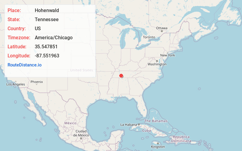
Full AddressHohenwald, TN 38462
-
Coordinates35.5478513, -87.5519628
-
LocationHohenwald , Tennessee , US
-
TimezoneAmerica/Chicago
-
Current Local Time9:44:57 AM America/ChicagoWednesday, June 25, 2025
-
Page Views0
About Hohenwald
Hohenwald is a city in and the county seat of Lewis County, Tennessee. The population was 3,757 at the 2010 census. The name "Hohenwald" derives from German meaning “High Forest".
Meriwether Lewis, of the Lewis and Clark Expedition, died and was buried seven miles east of the town at Grinder's Stand in 1809.


Nearby Places
Found 10 places within 50 miles

Mt Pleasant
19.4 mi
31.2 km
Mt Pleasant, TN
Get directions

Lawrenceburg
24.4 mi
39.3 km
Lawrenceburg, TN
Get directions

Columbia
29.4 mi
47.3 km
Columbia, TN 38401
Get directions

Spring Hill
37.6 mi
60.5 km
Spring Hill, TN
Get directions

Dickson
37.7 mi
60.7 km
Dickson, TN
Get directions

Pulaski
38.0 mi
61.2 km
Pulaski, TN 38478
Get directions

Fairview
38.5 mi
62.0 km
Fairview, TN 37062
Get directions

Waverly
39.5 mi
63.6 km
Waverly, TN 37185
Get directions

Thompson's Station
40.2 mi
64.7 km
Thompson's Station, TN
Get directions

Lewisburg
43.5 mi
70.0 km
Lewisburg, TN 37091
Get directions
Location Links
Local Weather
Weather Information
Coming soon!
Location Map
Static map view of Hohenwald, Tennessee
Browse Places by Distance
Places within specific distances from Hohenwald
Short Distances
Long Distances
Click any distance to see all places within that range from Hohenwald. Distances shown in miles (1 mile ≈ 1.61 kilometers).