Distance to Holbrook, Massachusetts

Calculating Your Route
Just a moment while we process your request...
Location Information
-
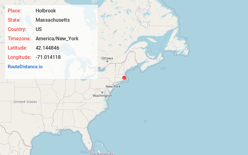
Full AddressHolbrook, MA
-
Coordinates42.144846, -71.014118
-
LocationHolbrook , Massachusetts , US
-
TimezoneAmerica/New_York
-
Current Local Time11:26:36 PM America/New_YorkSunday, June 29, 2025
-
Page Views0
About Holbrook
Holbrook is a town in Norfolk County, Massachusetts, United States. As of 2023, the town's population was 11,405.
Nearby Places
Found 10 places within 50 miles

Randolph
1.9 mi
3.1 km
Randolph, MA 02368
Get directions

Brockton
4.2 mi
6.8 km
Brockton, MA
Get directions

Braintree
4.4 mi
7.1 km
Braintree, MA
Get directions

Abington
4.5 mi
7.2 km
Abington, MA
Get directions

Stoughton
5.1 mi
8.2 km
Stoughton, MA 02072
Get directions

Rockland
5.1 mi
8.2 km
Rockland, MA
Get directions

Whitman
6.0 mi
9.7 km
Whitman, MA 02382
Get directions

Weymouth
6.3 mi
10.1 km
Weymouth, MA
Get directions

Canton
6.8 mi
10.9 km
Canton, MA
Get directions

Quincy
7.4 mi
11.9 km
Quincy, MA
Get directions
Location Links
Local Weather
Weather Information
Coming soon!
Location Map
Static map view of Holbrook, Massachusetts
Browse Places by Distance
Places within specific distances from Holbrook
Short Distances
Long Distances
Click any distance to see all places within that range from Holbrook. Distances shown in miles (1 mile ≈ 1.61 kilometers).