Distance to Holden, Missouri

Calculating Your Route
Just a moment while we process your request...
Location Information
-
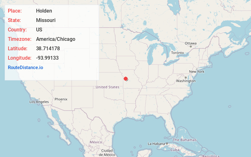
Full AddressHolden, MO 64040
-
Coordinates38.7141778, -93.9913303
-
LocationHolden , Missouri , US
-
TimezoneAmerica/Chicago
-
Current Local Time4:05:17 PM America/ChicagoWednesday, June 18, 2025
-
Page Views0
About Holden
Holden is a city in western Johnson County, Missouri, United States. The population was 2,252 at the 2010 census.


Nearby Places
Found 10 places within 50 miles

Warrensburg
14.2 mi
22.9 km
Warrensburg, MO 64093
Get directions

Pleasant Hill
15.8 mi
25.4 km
Pleasant Hill, MO
Get directions

Harrisonville
19.7 mi
31.7 km
Harrisonville, MO 64701
Get directions

Odessa
19.8 mi
31.9 km
Odessa, MO 64076
Get directions

Lake Lotawana
19.8 mi
31.9 km
Lake Lotawana, MO
Get directions

Greenwood
21.2 mi
34.1 km
Greenwood, MO
Get directions

Oak Grove
21.4 mi
34.4 km
Oak Grove, MO
Get directions

Whiteman AFB
23.2 mi
37.3 km
Whiteman AFB, MO
Get directions

Grain Valley
23.6 mi
38.0 km
Grain Valley, MO
Get directions

Knob Noster
23.6 mi
38.0 km
Knob Noster, MO 65336
Get directions
Location Links
Local Weather
Weather Information
Coming soon!
Location Map
Static map view of Holden, Missouri
Browse Places by Distance
Places within specific distances from Holden
Short Distances
Long Distances
Click any distance to see all places within that range from Holden. Distances shown in miles (1 mile ≈ 1.61 kilometers).