Distance to Holland Store, South Carolina

Calculating Your Route
Just a moment while we process your request...
Location Information
-
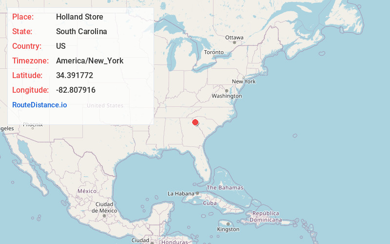
Full AddressHolland Store, SC 29684
-
Coordinates34.3917717, -82.8079158
-
LocationSouth Carolina , US
-
TimezoneAmerica/New_York
-
Current Local Time11:57:26 AM America/New_YorkThursday, June 19, 2025
-
Page Views0
Nearby Places
Found 10 places within 50 miles

Starr
6.5 mi
10.5 km
Starr, SC 29684
Get directions

Reed Creek
7.2 mi
11.6 km
Reed Creek, GA
Get directions

Hartwell
7.6 mi
12.2 km
Hartwell, GA 30643
Get directions

Gluck
9.1 mi
14.6 km
Gluck, Homeland Park, SC 29624
Get directions
Flat Rock
9.2 mi
14.8 km
Flat Rock, SC 29684
Get directions

Homeland Park
9.5 mi
15.3 km
Homeland Park, SC
Get directions
Nuberg
10.1 mi
16.3 km
Nuberg, GA 30634
Get directions

Iva
10.1 mi
16.3 km
Iva, SC 29655
Get directions
Mt Olivet
10.1 mi
16.3 km
Mt Olivet, GA 30643
Get directions

West Anderson
10.2 mi
16.4 km
West Anderson, SC 29626
Get directions
Location Links
Local Weather
Weather Information
Coming soon!
Location Map
Static map view of Holland Store, South Carolina
Browse Places by Distance
Places within specific distances from Holland Store
Short Distances
Long Distances
Click any distance to see all places within that range from Holland Store. Distances shown in miles (1 mile ≈ 1.61 kilometers).