Distance to Hollandale, Wisconsin

Calculating Your Route
Just a moment while we process your request...
Location Information
-
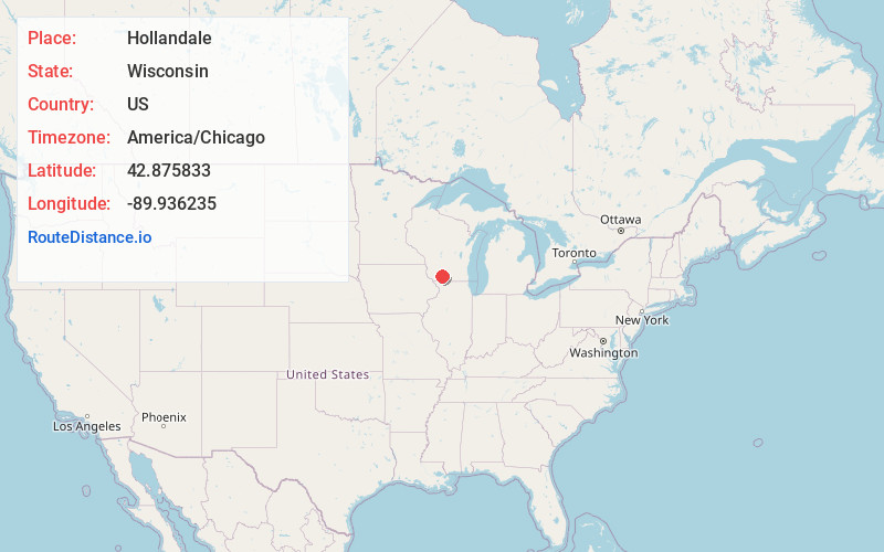
Full AddressHollandale, WI 53544
-
Coordinates42.8758332, -89.936235
-
LocationHollandale , Wisconsin , US
-
TimezoneAmerica/Chicago
-
Current Local Time1:47:10 PM America/ChicagoMonday, June 2, 2025
-
Page Views0
About Hollandale
Hollandale is a village in Iowa County, Wisconsin, United States. The population was 306 at the 2020 census. It is part of the Madison Metropolitan Statistical Area.
Nearby Places
Found 10 places within 50 miles

Blanchardville
5.9 mi
9.5 km
Blanchardville, WI 53516
Get directions

Ridgeway
9.2 mi
14.8 km
Ridgeway, WI 53582
Get directions

Barneveld
9.9 mi
15.9 km
Barneveld, WI 53507
Get directions

Blue Mounds
11.1 mi
17.9 km
Blue Mounds, WI 53517
Get directions

Dodgeville
11.4 mi
18.3 km
Dodgeville, WI
Get directions

Mineral Point
12.4 mi
20.0 km
Mineral Point, WI 53565
Get directions

Argyle
12.6 mi
20.3 km
Argyle, WI 53504
Get directions

Mt Horeb
13.6 mi
21.9 km
Mt Horeb, WI 53572
Get directions

New Glarus
15.8 mi
25.4 km
New Glarus, WI 53574
Get directions

Darlington
16.2 mi
26.1 km
Darlington, WI 53530
Get directions
Location Links
Local Weather
Weather Information
Coming soon!
Location Map
Static map view of Hollandale, Wisconsin
Browse Places by Distance
Places within specific distances from Hollandale
Short Distances
Long Distances
Click any distance to see all places within that range from Hollandale. Distances shown in miles (1 mile ≈ 1.61 kilometers).