Distance to Holley, Oregon

Calculating Your Route
Just a moment while we process your request...
Location Information
-
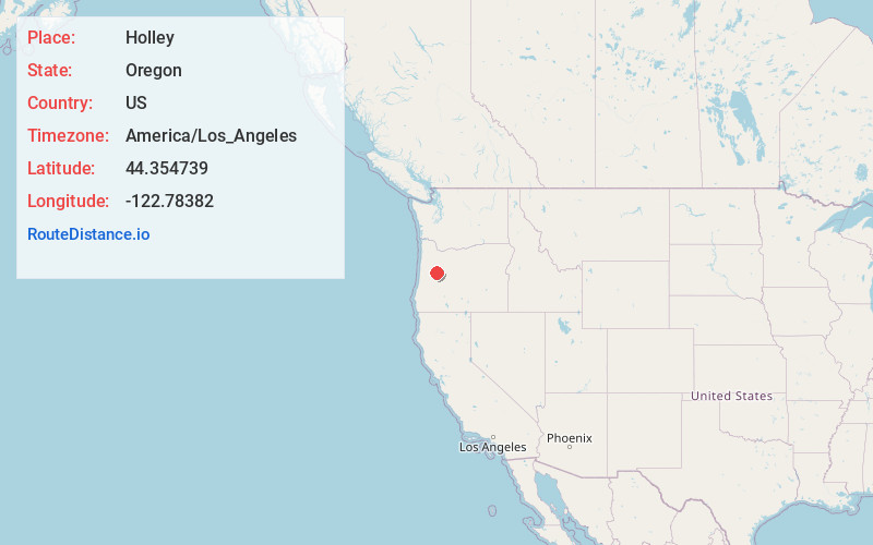
Full AddressHolley, OR 97386
-
Coordinates44.3547389, -122.7838197
-
LocationHolley , Oregon , US
-
TimezoneAmerica/Los_Angeles
-
Current Local Time7:29:35 AM America/Los_AngelesWednesday, June 4, 2025
-
Page Views0
About Holley
Holley is a census-designated place and unincorporated community in Linn County, Oregon, United States. As of the 2010 census it had a population of 378. It is about 4 miles southwest of Sweet Home on Oregon Route 228 near the Calapooia River.


Nearby Places
Found 10 places within 50 miles

Crawfordsville
3.7 mi
6.0 km
Crawfordsville, OR
Get directions

Sweet Home
3.8 mi
6.1 km
Sweet Home, OR
Get directions

Sodaville
9.9 mi
15.9 km
Sodaville, OR 97355
Get directions

Brownsville
10.3 mi
16.6 km
Brownsville, OR 97327
Get directions

South Lebanon
12.0 mi
19.3 km
South Lebanon, OR 97355
Get directions

Marcola
13.1 mi
21.1 km
Marcola, OR
Get directions

Lebanon
14.0 mi
22.5 km
Lebanon, OR 97355
Get directions

Lacomb
16.1 mi
25.9 km
Lacomb, OR 97355
Get directions

Halsey
16.2 mi
26.1 km
Halsey, OR 97348
Get directions

Harrisburg
19.9 mi
32.0 km
Harrisburg, OR 97446
Get directions
Location Links
Local Weather
Weather Information
Coming soon!
Location Map
Static map view of Holley, Oregon
Browse Places by Distance
Places within specific distances from Holley
Short Distances
Long Distances
Click any distance to see all places within that range from Holley. Distances shown in miles (1 mile ≈ 1.61 kilometers).