Distance to Hollis, Oklahoma

Calculating Your Route
Just a moment while we process your request...
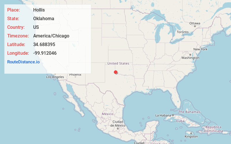
Location Information
-
Full AddressHollis, OK 73550
-
Coordinates34.6883948, -99.9120456
-
LocationHollis , Oklahoma , US
-
TimezoneAmerica/Chicago
-
Current Local Time10:35:48 PM America/ChicagoThursday, June 19, 2025
-
Page Views0
About Hollis
Hollis is a city in and the county seat of Harmon County, Oklahoma, United States. The population was 2,060 at the 2010 census.


Nearby Places
Found 8 places within 50 miles

Wellington
20.7 mi
33.3 km
Wellington, TX 79095
Get directions

Childress
24.6 mi
39.6 km
Childress, TX 79201
Get directions

Mangum
26.4 mi
42.5 km
Mangum, OK 73554
Get directions

Quanah
28.7 mi
46.2 km
Quanah, TX 79252
Get directions

Altus
33.0 mi
53.1 km
Altus, OK
Get directions

Memphis
35.4 mi
57.0 km
Memphis, TX 79245
Get directions

Shamrock
41.0 mi
66.0 km
Shamrock, TX 79079
Get directions

Sayre
44.4 mi
71.5 km
Sayre, OK 73662
Get directions
Location Links
Local Weather
Weather Information
Coming soon!
Location Map
Static map view of Hollis, Oklahoma
Browse Places by Distance
Places within specific distances from Hollis
Short Distances
Long Distances
Click any distance to see all places within that range from Hollis. Distances shown in miles (1 mile ≈ 1.61 kilometers).