Distance to Holmesville, Nebraska

Calculating Your Route
Just a moment while we process your request...
Location Information
-
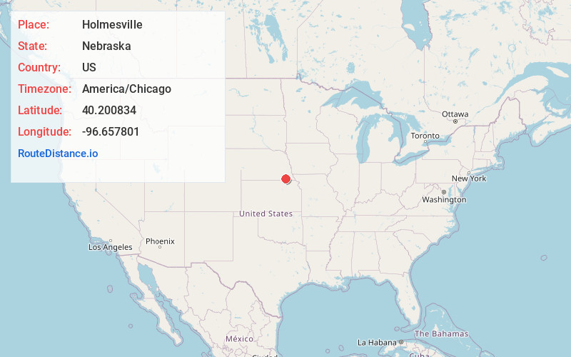
Full AddressHolmesville, NE 68310
-
Coordinates40.2008336, -96.657801
-
LocationHolmesville , Nebraska , US
-
TimezoneAmerica/Chicago
-
Current Local Time10:36:57 PM America/ChicagoThursday, June 19, 2025
-
Page Views0
About Holmesville
Holmesville is a census-designated place in Gage County, Nebraska, United States. As of the 2010 census it had a population of 51.
Nearby Places
Found 10 places within 50 miles

Blue Springs
4.3 mi
6.9 km
Blue Springs, NE
Get directions

Wymore
5.4 mi
8.7 km
Wymore, NE
Get directions

Beatrice
6.5 mi
10.5 km
Beatrice, NE 68310
Get directions

Filley
8.7 mi
14.0 km
Filley, NE 68357
Get directions
Barneston
11.4 mi
18.3 km
Barneston, NE
Get directions

Pickrell
12.8 mi
20.6 km
Pickrell, NE 68422
Get directions

Odell
13.0 mi
20.9 km
Odell, NE 68415
Get directions

Diller
16.0 mi
25.7 km
Diller, NE 68342
Get directions

Oketo
16.7 mi
26.9 km
Oketo, KS 66518
Get directions

Plymouth
18.8 mi
30.3 km
Plymouth, NE 68424
Get directions
Location Links
Local Weather
Weather Information
Coming soon!
Location Map
Static map view of Holmesville, Nebraska
Browse Places by Distance
Places within specific distances from Holmesville
Short Distances
Long Distances
Click any distance to see all places within that range from Holmesville. Distances shown in miles (1 mile ≈ 1.61 kilometers).