Distance to Holston, Virginia

Calculating Your Route
Just a moment while we process your request...
Location Information
-
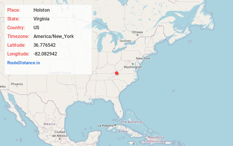
Full AddressHolston, VA 24210
-
Coordinates36.7765421, -82.0829415
-
LocationHolston , Virginia , US
-
TimezoneAmerica/New_York
-
Current Local Time1:47:26 PM America/New_YorkTuesday, July 1, 2025
-
Page Views0
About Holston
Holston is an unincorporated community in Washington County, Virginia, United States.
Nearby Places
Found 10 places within 50 miles

Roebuck
1.7 mi
2.7 km
Roebuck, VA 24210
Get directions
Mongle Spring
2.1 mi
3.4 km
Mongle Spring, VA 24210
Get directions
Greendale
2.7 mi
4.3 km
Greendale, VA 24210
Get directions
Falls Hill Creek
3.4 mi
5.5 km
Falls Hill Creek, Virginia 24210
Get directions
Brumley Gap
3.6 mi
5.8 km
Brumley Gap, VA 24210
Get directions
Withers
3.7 mi
6.0 km
Withers, VA 24210
Get directions
Butts
4.0 mi
6.4 km
Butts, VA 24210
Get directions
Hansonville
4.8 mi
7.7 km
Hansonville, VA 24266
Get directions
White Mill
5.3 mi
8.5 km
White Mill, VA 24210
Get directions
Rocktown
5.5 mi
8.9 km
Rocktown, VA 24202
Get directions
Location Links
Local Weather
Weather Information
Coming soon!
Location Map
Static map view of Holston, Virginia
Browse Places by Distance
Places within specific distances from Holston
Short Distances
Long Distances
Click any distance to see all places within that range from Holston. Distances shown in miles (1 mile ≈ 1.61 kilometers).