Distance to Holt, Florida

Calculating Your Route
Just a moment while we process your request...
Location Information
-
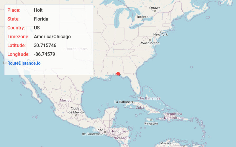
Full AddressHolt, FL 32564
-
Coordinates30.7157457, -86.7457897
-
LocationHolt , Florida , US
-
TimezoneAmerica/Chicago
-
Current Local Time12:04:37 PM America/ChicagoThursday, June 19, 2025
-
Page Views0
About Holt
Holt is an unincorporated community located in Okaloosa County, Florida, United States. Its area code is 850, and its ZIP code is 32564.
Holt is located in western Okaloosa County along US 90 and County Road 189. South along CR 189 is an interchange for Interstate 10.


Nearby Places
Found 10 places within 50 miles

Kellys Mill
2.4 mi
3.9 km
Kellys Mill, FL 32564
Get directions
Galliver
2.4 mi
3.9 km
Galliver, FL 32564
Get directions
Floridale
5.9 mi
9.5 km
Floridale, Harold, FL 32564
Get directions
Harold
8.9 mi
14.3 km
Harold, FL 32583
Get directions
Cannon Town
10.5 mi
16.9 km
Cannon Town, FL 32531
Get directions
Indian Ford
10.6 mi
17.1 km
Indian Ford, FL 32570
Get directions

Crestview
10.6 mi
17.1 km
Crestview, FL
Get directions
Rock Creek
17.1 mi
27.5 km
Rock Creek, FL 32531
Get directions
Killingsworth Crossroads
17.2 mi
27.7 km
Killingsworth Crossroads, FL 32539
Get directions
Campton
17.4 mi
28.0 km
Campton, FL 32567
Get directions
Location Links
Local Weather
Weather Information
Coming soon!
Location Map
Static map view of Holt, Florida
Browse Places by Distance
Places within specific distances from Holt
Short Distances
Long Distances
Click any distance to see all places within that range from Holt. Distances shown in miles (1 mile ≈ 1.61 kilometers).