Distance to Homesteaders Gap, North Dakota

Calculating Your Route
Just a moment while we process your request...
Location Information
-
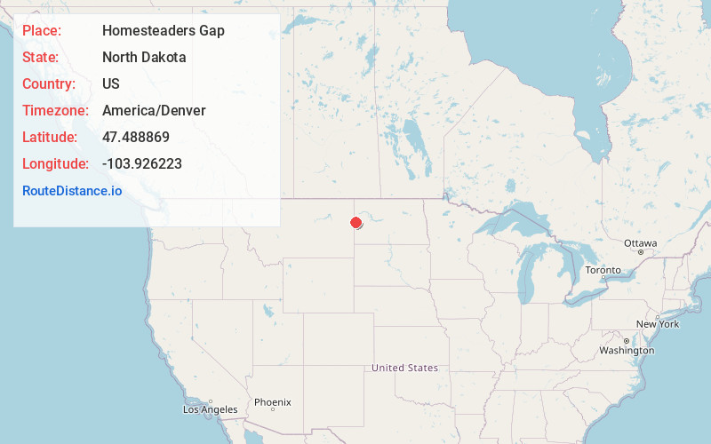
Full AddressHomesteaders Gap, ND 59270
-
Coordinates47.4888686, -103.9262232
-
LocationHomesteaders Gap , North Dakota , US
-
TimezoneAmerica/Denver
-
Current Local Time11:15:43 PM America/DenverTuesday, June 17, 2025
-
Page Views0
About Homesteaders Gap
Homesteaders Gap is a tiny hamlet on North Dakota Highway 16 in McKenzie County, extending across the Montana border as West Squaw Gap.
The unincorporated village includes a school and a community center.
The McKenzie County school, which had been operating since 1904, had two students in 2006.
Nearby Places
Found 10 places within 50 miles

Skaar
9.6 mi
15.4 km
Skaar, ND 59270
Get directions

Trotters
11.5 mi
18.5 km
Trotters, ND 58621
Get directions
Piche
16.4 mi
26.4 km
Piche, MT 59262
Get directions
Crane
16.8 mi
27.0 km
Crane, MT 59262
Get directions
Newlon Junction
17.2 mi
27.7 km
Newlon Junction, MT 59270
Get directions
Hoffmanville
17.6 mi
28.3 km
Hoffmanville, MT 59262
Get directions

Sidney
19.0 mi
30.6 km
Sidney, MT 59270
Get directions
Savage
19.6 mi
31.5 km
Savage, MT 59262
Get directions
Wooley
20.8 mi
33.5 km
Wooley, MT 59270
Get directions
Ridgelawn
22.2 mi
35.7 km
Ridgelawn, MT 59221
Get directions
Location Links
Local Weather
Weather Information
Coming soon!
Location Map
Static map view of Homesteaders Gap, North Dakota
Browse Places by Distance
Places within specific distances from Homesteaders Gap
Short Distances
Long Distances
Click any distance to see all places within that range from Homesteaders Gap. Distances shown in miles (1 mile ≈ 1.61 kilometers).