Distance to Homewood, Alabama

Calculating Your Route
Just a moment while we process your request...
Location Information
-
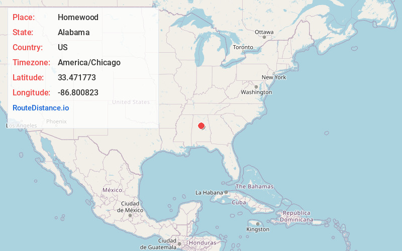
Full AddressHomewood, AL
-
Coordinates33.4717732, -86.8008228
-
LocationHomewood , Alabama , US
-
TimezoneAmerica/Chicago
-
Current Local Time5:20:45 AM America/ChicagoFriday, June 6, 2025
-
Website
-
Page Views0
About Homewood
Homewood is an affluent commuter suburb with cafes, casual restaurants, and independent boutiques clustered around the quaint Soho Square and Edgewood business districts. It’s also home to Red Mountain Park, with a network of hiking and mountain biking trails, plus a zip-line course and a rock climbing tower. Samford University is known for its manicured campus lined with Georgian colonial buildings.


Nearby Places
Found 6 places within 50 miles

Vestavia Hills
1.8 mi
2.9 km
Vestavia Hills, AL
Get directions

Birmingham
3.3 mi
5.3 km
Birmingham, AL
Get directions

Hoover
4.6 mi
7.4 km
Hoover, AL
Get directions

Alabaster
15.7 mi
25.3 km
Alabaster, AL
Get directions

Tuscaloosa
47.7 mi
76.8 km
Tuscaloosa, AL
Get directions

Northport
47.8 mi
76.9 km
Northport, AL
Get directions
Location Links
Local Weather
Weather Information
Coming soon!
Location Map
Static map view of Homewood, Alabama
Browse Places by Distance
Places within specific distances from Homewood
Short Distances
Long Distances
Click any distance to see all places within that range from Homewood. Distances shown in miles (1 mile ≈ 1.61 kilometers).