Distance to Honey Bend, Illinois

Calculating Your Route
Just a moment while we process your request...
Location Information
-
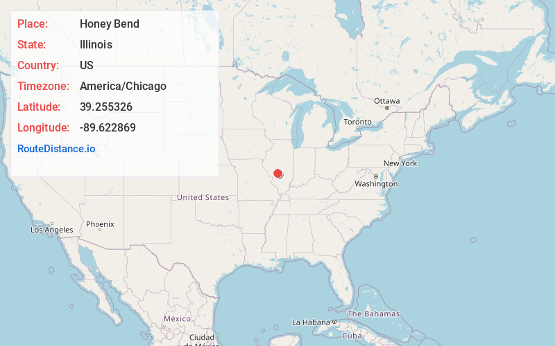
Full AddressHoney Bend, North Litchfield Township, IL 62056
-
Coordinates39.2553264, -89.6228692
-
LocationNorth Litchfield Township , Illinois , US
-
TimezoneAmerica/Chicago
-
Current Local Time4:14:21 AM America/ChicagoSaturday, June 21, 2025
-
Page Views0
About Honey Bend
Honey Bend is an unincorporated community in North Litchfield Township, Montgomery County, Illinois, United States. Honey Bend is located on County Route 26 and the Norfolk and Southern Railroad, 5.8 miles north-northeast of Litchfield.
Nearby Places
Found 10 places within 50 miles

Barnett
4.0 mi
6.4 km
Barnett, IL 62056
Get directions
Raymond
5.2 mi
8.4 km
Raymond, IL 62560
Get directions

Litchfield
5.8 mi
9.3 km
Litchfield, IL
Get directions

Butler
6.1 mi
9.8 km
Butler, IL 62015
Get directions
Atwater
7.7 mi
12.4 km
Atwater, IL 62572
Get directions
Harvel
8.5 mi
13.7 km
Harvel, IL 62538
Get directions

Waggoner
8.6 mi
13.8 km
Waggoner, IL
Get directions
Womac
8.9 mi
14.3 km
Womac, IL 62626
Get directions

Hillsboro
9.5 mi
15.3 km
Hillsboro, IL
Get directions
Schoper
10.4 mi
16.7 km
Schoper, Shaws Point Township, IL 62572
Get directions
Location Links
Local Weather
Weather Information
Coming soon!
Location Map
Static map view of Honey Bend, Illinois
Browse Places by Distance
Places within specific distances from Honey Bend
Short Distances
Long Distances
Click any distance to see all places within that range from Honey Bend. Distances shown in miles (1 mile ≈ 1.61 kilometers).