Distance to Honey Brook Township, Pennsylvania

Calculating Your Route
Just a moment while we process your request...
Location Information
-
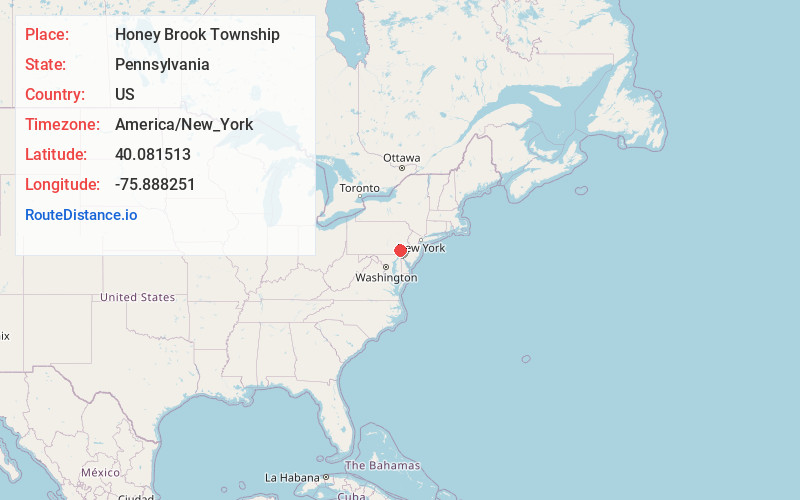
Full AddressHoney Brook Township, PA
-
Coordinates40.0815127, -75.8882508
-
LocationHoney Brook Township , Pennsylvania , US
-
TimezoneAmerica/New_York
-
Current Local Time5:09:08 PM America/New_YorkWednesday, June 18, 2025
-
Page Views0
About Honey Brook Township
Honey Brook Township is a township in Chester County, Pennsylvania, United States. The population was 8,274 at the time of the 2020 census.


Nearby Places
Found 10 places within 50 miles

Suplee
1.3 mi
2.1 km
Suplee, PA 19344
Get directions

Honey Brook
1.5 mi
2.4 km
Honey Brook, PA 19344
Get directions
Birdell
1.6 mi
2.6 km
Birdell, Honey Brook Township, PA 19344
Get directions
Cupola
2.6 mi
4.2 km
Cupola, West Nantmeal Township, PA 19520
Get directions
Fontaine
3.1 mi
5.0 km
Fontaine, PA 19520
Get directions
Brandamore Dam
3.2 mi
5.1 km
Brandamore Dam, West Brandywine Township, PA 19344
Get directions
Wyebrooke
3.3 mi
5.3 km
Wyebrooke, PA 19520
Get directions
Lewis Mills
3.4 mi
5.5 km
Lewis Mills, West Nantmeal Township, PA 19344
Get directions
West Brandywine Township
4.2 mi
6.8 km
West Brandywine Township, PA
Get directions

West Nantmeal Township
4.3 mi
6.9 km
West Nantmeal Township, PA
Get directions
Location Links
Local Weather
Weather Information
Coming soon!
Location Map
Static map view of Honey Brook Township, Pennsylvania
Browse Places by Distance
Places within specific distances from Honey Brook Township
Short Distances
Long Distances
Click any distance to see all places within that range from Honey Brook Township. Distances shown in miles (1 mile ≈ 1.61 kilometers).