Distance to Honey Grove, Kentucky

Calculating Your Route
Just a moment while we process your request...
Location Information
-
Full AddressHoney Grove, KY 42240
-
Coordinates36.8897658, -87.309725
-
LocationKentucky , US
-
TimezoneAmerica/Chicago
-
Current Local Time1:26:54 PM America/ChicagoTuesday, July 1, 2025
-
Page Views0
About Honey Grove
Honey Grove, sometimes spelled as Honeygrove, is an unincorporated community in Christian County, Kentucky, United States. Kentucky Route 508 runs through the community. Honey Grove has a single firehouse that is staffed by volunteer personnel.
Nearby Places
Found 10 places within 50 miles

Britmart
1.6 mi
2.6 km
Britmart, KY 42220
Get directions

Fairview
3.2 mi
5.1 km
Fairview, KY
Get directions
Pleasant Hill
3.5 mi
5.6 km
Pleasant Hill, KY 42240
Get directions
Ovil
4.1 mi
6.6 km
Ovil, KY 42240
Get directions
Tabernacle
4.5 mi
7.2 km
Tabernacle, KY 42220
Get directions
Carl
6.0 mi
9.7 km
Carl, KY 42240
Get directions
Tress Shop
6.6 mi
10.6 km
Tress Shop, KY 42220
Get directions
Fearsville
6.9 mi
11.1 km
Fearsville, KY 42240
Get directions
Mt Tabor
6.9 mi
11.1 km
Mt Tabor, KY 42220
Get directions
Bluff Spring
8.0 mi
12.9 km
Bluff Spring, KY 42240
Get directions
Location Links
Local Weather
Weather Information
Coming soon!
Location Map
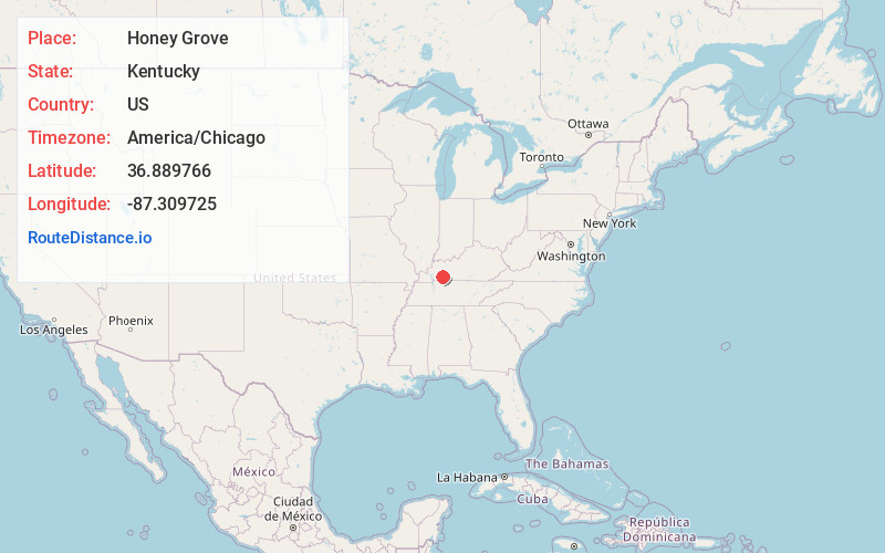
Static map view of Honey Grove, Kentucky
Browse Places by Distance
Places within specific distances from Honey Grove
Short Distances
Long Distances
Click any distance to see all places within that range from Honey Grove. Distances shown in miles (1 mile ≈ 1.61 kilometers).