Distance to Hook of Holland, Zuid-Holland

Calculating Your Route
Just a moment while we process your request...
Location Information
-
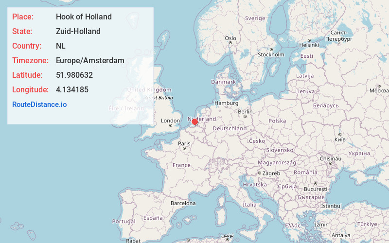
Full AddressHook of Holland, Netherlands
-
Coordinates51.9806322, 4.1341847
-
LocationHook of Holland , Zuid-Holland , NL
-
TimezoneEurope/Amsterdam
-
Current Local Time12:26:53 PM Europe/AmsterdamThursday, May 22, 2025
-
Page Views1
About Hook of Holland
Hook of Holland is a coastal village in the southwestern corner of Holland, hence the name; hoek means "corner" and was in use before the word kaap – "cape". The English translation using Hook is a false cognate of the Dutch Hoek, but has become commonplace.


Nearby Places
Found 6 places within 50 miles

The Hague
9.4 mi
15.1 km
The Hague, Netherlands
Get directions

Rotterdam
15.1 mi
24.3 km
Rotterdam, Netherlands
Get directions

Haarlem
35.5 mi
57.1 km
Haarlem, Netherlands
Get directions

Het Amsterdamse Bos
37.5 mi
60.4 km
Het Amsterdamse Bos, Amstelveen, Netherlands
Get directions

Amsterdam
42.2 mi
67.9 km
Amsterdam, Netherlands
Get directions

Utrecht
42.7 mi
68.7 km
Utrecht, Netherlands
Get directions
Location Links
Local Weather
Weather Information
Coming soon!
Location Map
Static map view of Hook of Holland, Zuid-Holland
Browse Places by Distance
Places within specific distances from Hook of Holland
Short Distances
Long Distances
Click any distance to see all places within that range from Hook of Holland. Distances shown in miles (1 mile ≈ 1.61 kilometers).