Distance to Hooker, Missouri

Calculating Your Route
Just a moment while we process your request...
Location Information
-
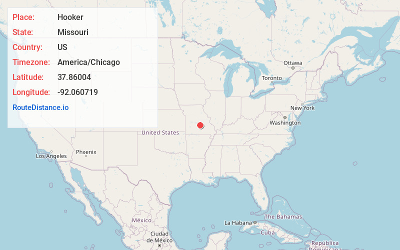
Full AddressHooker, Cullen Township, MO 65550
-
Coordinates37.8600403, -92.0607194
-
LocationCullen Township , Missouri , US
-
TimezoneAmerica/Chicago
-
Current Local Time8:15:31 PM America/ChicagoSunday, June 22, 2025
-
Page Views0
About Hooker
Hooker is a ghost town in Pulaski County, Missouri, United States, along the former U.S. Route 66. The GNIS classifies it as a populated place. Built on a new alignment of US 66, nothing remains of the town except the Hooker Cemetery, in which many of the former residents and local families are buried.


Nearby Places
Found 10 places within 50 miles

Devils Elbow
1.0 mi
1.6 km
Devils Elbow, MO 65457
Get directions

St Robert
6.8 mi
10.9 km
St Robert, MO
Get directions

Waynesville
7.9 mi
12.7 km
Waynesville, MO 65583
Get directions

Dixon
9.3 mi
15.0 km
Dixon, MO 65459
Get directions

Newburg
9.4 mi
15.1 km
Newburg, MO 65550
Get directions

Fort Leonard Wood
10.9 mi
17.5 km
Fort Leonard Wood, MO
Get directions

Doolittle
11.3 mi
18.2 km
Doolittle, MO
Get directions

Crocker
12.7 mi
20.4 km
Crocker, MO 65452
Get directions

Big Bend
13.5 mi
21.7 km
Big Bend, Dry Creek Township, MO 65459
Get directions

Edgar Springs
15.1 mi
24.3 km
Edgar Springs, MO 65462
Get directions
Location Links
Local Weather
Weather Information
Coming soon!
Location Map
Static map view of Hooker, Missouri
Browse Places by Distance
Places within specific distances from Hooker
Short Distances
Long Distances
Click any distance to see all places within that range from Hooker. Distances shown in miles (1 mile ≈ 1.61 kilometers).