Distance to Hooper, Colorado

Calculating Your Route
Just a moment while we process your request...
Location Information
-
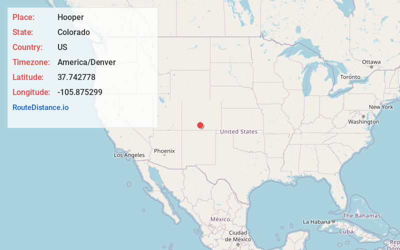
Full AddressHooper, CO
-
Coordinates37.7427775, -105.8752987
-
LocationHooper , Colorado , US
-
TimezoneAmerica/Denver
-
Current Local Time5:41:06 PM America/DenverWednesday, May 21, 2025
-
Page Views0
About Hooper
The Town of Hooper is a Statutory Town located in the San Luis Valley in Alamosa County, Colorado, United States. The population was 81 at the 2020 census.
Nearby Places
Found 10 places within 50 miles

Center
12.8 mi
20.6 km
Center, CO 81125
Get directions

Alamosa East
18.7 mi
30.1 km
Alamosa East, CO 81101
Get directions

Monte Vista
18.7 mi
30.1 km
Monte Vista, CO 81144
Get directions

Alamosa
18.9 mi
30.4 km
Alamosa, CO 81101
Get directions

Del Norte
26.4 mi
42.5 km
Del Norte, CO 81132
Get directions

Saguache
27.9 mi
44.9 km
Saguache, CO 81149
Get directions

Blanca
28.8 mi
46.3 km
Blanca, CO 81123
Get directions

Fort Garland
32.5 mi
52.3 km
Fort Garland, CO
Get directions

La Jara
32.7 mi
52.6 km
La Jara, CO 81140
Get directions
Sanford
33.5 mi
53.9 km
Sanford, CO 81151
Get directions
Location Links
Local Weather
Weather Information
Coming soon!
Location Map
Static map view of Hooper, Colorado
Browse Places by Distance
Places within specific distances from Hooper
Short Distances
Long Distances
Click any distance to see all places within that range from Hooper. Distances shown in miles (1 mile ≈ 1.61 kilometers).