Distance to Hooppole, Illinois

Calculating Your Route
Just a moment while we process your request...
Location Information
-
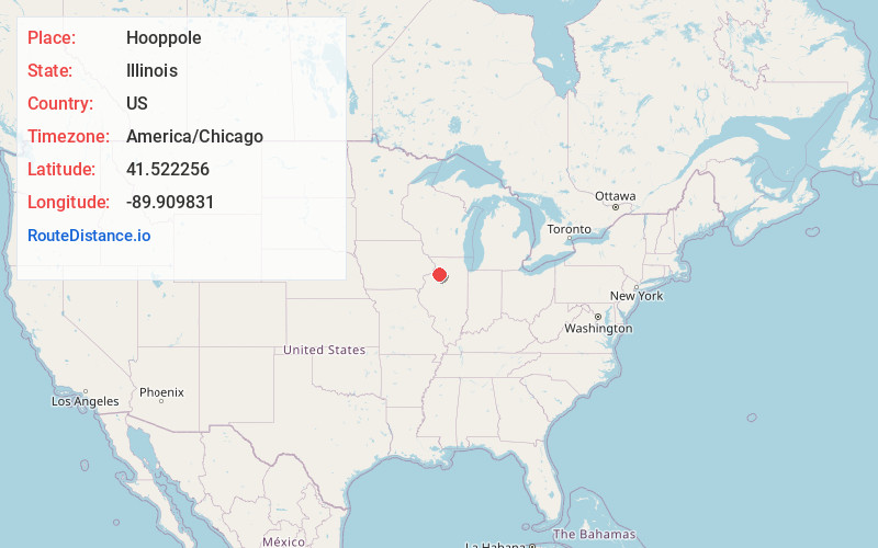
Full AddressHooppole, IL
-
Coordinates41.5222555, -89.9098306
-
LocationHooppole , Illinois , US
-
TimezoneAmerica/Chicago
-
Current Local Time7:07:17 PM America/ChicagoTuesday, June 17, 2025
-
Page Views0
About Hooppole
Hooppole is a village in Henry County, Illinois, United States. The population was 180 at the 2020 census.
Nearby Places
Found 10 places within 50 miles

Annawan
8.6 mi
13.8 km
Annawan, IL
Get directions

Atkinson
8.9 mi
14.3 km
Atkinson, IL 61235
Get directions

Tampico
9.8 mi
15.8 km
Tampico, IL 61283
Get directions

Prophetstown
10.4 mi
16.7 km
Prophetstown, IL 61277
Get directions

Erie
12.8 mi
20.6 km
Erie, IL 61250
Get directions
Manlius
13.3 mi
21.4 km
Manlius, IL
Get directions

Lyndon
13.5 mi
21.7 km
Lyndon, IL 61261
Get directions

Geneseo
13.7 mi
22.0 km
Geneseo, IL 61254
Get directions

Sheffield
14.4 mi
23.2 km
Sheffield, IL 61361
Get directions

Hillsdale
15.0 mi
24.1 km
Hillsdale, IL 61257
Get directions
Location Links
Local Weather
Weather Information
Coming soon!
Location Map
Static map view of Hooppole, Illinois
Browse Places by Distance
Places within specific distances from Hooppole
Short Distances
Long Distances
Click any distance to see all places within that range from Hooppole. Distances shown in miles (1 mile ≈ 1.61 kilometers).