Distance to Hootentown, North Carolina

Calculating Your Route
Just a moment while we process your request...
Location Information
-
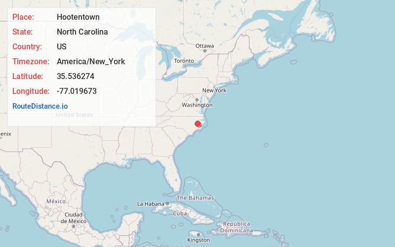
Full AddressHootentown, NC 27889
-
Coordinates35.5362741, -77.0196725
-
LocationNorth Carolina , US
-
TimezoneAmerica/New_York
-
Current Local Time1:52:07 PM America/New_YorkWednesday, June 18, 2025
-
Page Views0
Nearby Places
Found 10 places within 50 miles

Washington
2.0 mi
3.2 km
Washington, NC
Get directions

Pineygrove Branch
2.1 mi
3.4 km
Pineygrove Branch, North Carolina 27889
Get directions
Bunyan
2.5 mi
4.0 km
Bunyan, NC 27889
Get directions
River Rd
2.6 mi
4.2 km
River Rd, NC 27889
Get directions
River Acres
3.1 mi
5.0 km
River Acres, River Rd, NC 27889
Get directions
Douglas Crossroads
4.0 mi
6.4 km
Douglas Crossroads, NC 27889
Get directions

Chocowinity
4.8 mi
7.7 km
Chocowinity, NC 27817
Get directions
Gilead
6.1 mi
9.8 km
Gilead, NC 27817
Get directions
Hackney
7.2 mi
11.6 km
Hackney, NC 27817
Get directions
Latham
7.9 mi
12.7 km
Latham, NC 27889
Get directions
Location Links
Local Weather
Weather Information
Coming soon!
Location Map
Static map view of Hootentown, North Carolina
Browse Places by Distance
Places within specific distances from Hootentown
Short Distances
Long Distances
Click any distance to see all places within that range from Hootentown. Distances shown in miles (1 mile ≈ 1.61 kilometers).