Distance to Hoover, Texas

Calculating Your Route
Just a moment while we process your request...
Location Information
-
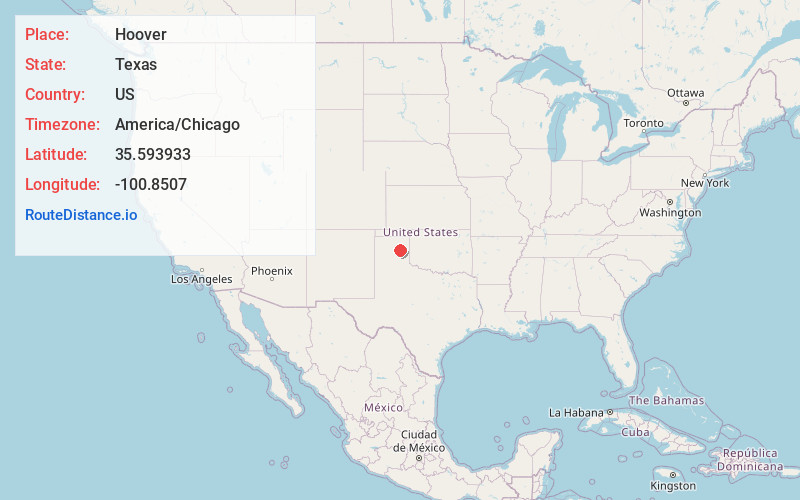
Full AddressHoover, TX 79065
-
Coordinates35.5939333, -100.8507003
-
LocationTexas , US
-
TimezoneAmerica/Chicago
-
Current Local Time5:48:05 AM America/ChicagoSunday, June 8, 2025
-
Page Views0
Nearby Places
Found 10 places within 50 miles

Pampa
8.0 mi
12.9 km
Pampa, TX 79065
Get directions

Lefors
11.2 mi
18.0 km
Lefors, TX 79054
Get directions

Miami
13.7 mi
22.0 km
Miami, TX 79059
Get directions
Skellytown
18.3 mi
29.5 km
Skellytown, TX 79080
Get directions
Cargray
19.0 mi
30.6 km
Cargray, TX 79097
Get directions
Lora
19.3 mi
31.1 km
Lora, TX 79014
Get directions

White Deer
21.2 mi
34.1 km
White Deer, TX 79097
Get directions
Mobeetie
23.6 mi
38.0 km
Mobeetie, TX 79061
Get directions
Texroy
25.2 mi
40.6 km
Texroy, TX 79080
Get directions

Alanreed
27.2 mi
43.8 km
Alanreed, TX 79057
Get directions
Location Links
Local Weather
Weather Information
Coming soon!
Location Map
Static map view of Hoover, Texas
Browse Places by Distance
Places within specific distances from Hoover
Short Distances
Long Distances
Click any distance to see all places within that range from Hoover. Distances shown in miles (1 mile ≈ 1.61 kilometers).