Distance to Hoover, Indiana

Calculating Your Route
Just a moment while we process your request...
Location Information
-
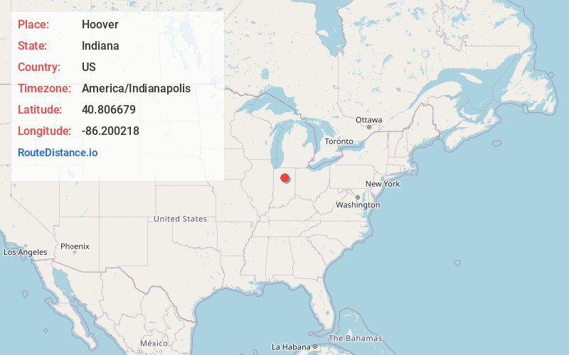
Full AddressHoover, IN 46970
-
Coordinates40.806679, -86.200218
-
LocationHoover , Indiana , US
-
TimezoneAmerica/Indianapolis
-
Page Views0
About Hoover
Hoover is an unincorporated community in Adams Township, Cass County, Indiana. As of June 2022 Hoover has an approximate population of 35 residents.
Nearby Places
Found 10 places within 50 miles

Adamsboro
4.0 mi
6.4 km
Adamsboro, IN 46947
Get directions
Twelve Mile
4.3 mi
6.9 km
Twelve Mile, IN 46988
Get directions
Mexico
4.6 mi
7.4 km
Mexico, IN
Get directions
Miami Bend
6.4 mi
10.3 km
Miami Bend, IN 46947
Get directions
Doyle
6.6 mi
10.6 km
Doyle, Jefferson Township, IN 46970
Get directions
Perrysburg
6.8 mi
10.9 km
Perrysburg, IN 46951
Get directions
Potawatomi Point
7.0 mi
11.3 km
Potawatomi Point, Eel Township, IN 46947
Get directions
Mount Pleasant
7.1 mi
11.4 km
Mount Pleasant, IN 46947
Get directions

Cass County
7.2 mi
11.6 km
Cass County, IN
Get directions
Anoka
7.3 mi
11.7 km
Anoka, IN 46947
Get directions
Location Links
Local Weather
Weather Information
Coming soon!
Location Map
Static map view of Hoover, Indiana
Browse Places by Distance
Places within specific distances from Hoover
Short Distances
Long Distances
Click any distance to see all places within that range from Hoover. Distances shown in miles (1 mile ≈ 1.61 kilometers).