Distance to Hope, Alaska

Calculating Your Route
Just a moment while we process your request...
Location Information
-
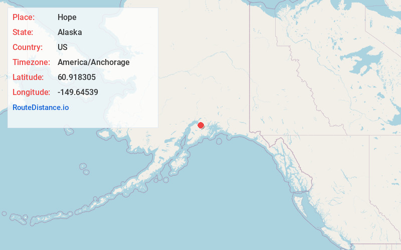
Full AddressHope, AK
-
Coordinates60.918305, -149.6453896
-
LocationHope , Alaska , US
-
TimezoneAmerica/Anchorage
-
Current Local Time1:40:25 PM America/AnchorageWednesday, June 18, 2025
-
Page Views0
About Hope
Hope is a census-designated place in Kenai Peninsula Borough in the U.S. state of Alaska. It is 70 miles south from Anchorage. As of the 2010 census the population was 192, up from 137 in 2000.


Nearby Places
Found 10 places within 50 miles

Anchorage
22.4 mi
36.0 km
Anchorage, AK
Get directions

Cooper Landing
30.4 mi
48.9 km
Cooper Landing, AK 99572
Get directions

Moose Pass
31.2 mi
50.2 km
Moose Pass, AK 99631
Get directions

Whittier
33.8 mi
54.4 km
Whittier, AK 99693
Get directions

Point MacKenzie
34.1 mi
54.9 km
Point MacKenzie, AK 99654
Get directions

Knik-Fairview
41.4 mi
66.6 km
Knik-Fairview, AK 99654
Get directions

Knik River
42.6 mi
68.6 km
Knik River, AK
Get directions

Big Lake
44.2 mi
71.1 km
Big Lake, AK
Get directions

Meadow Lakes
45.9 mi
73.9 km
Meadow Lakes, AK 99654
Get directions

Wasilla
46.3 mi
74.5 km
Wasilla, AK 99654
Get directions
Location Links
Local Weather
Weather Information
Coming soon!
Location Map
Static map view of Hope, Alaska
Browse Places by Distance
Places within specific distances from Hope
Short Distances
Long Distances
Click any distance to see all places within that range from Hope. Distances shown in miles (1 mile ≈ 1.61 kilometers).