Distance to Hopewell, Maryland

Calculating Your Route
Just a moment while we process your request...
Location Information
-
Full AddressHopewell, MD 21817
-
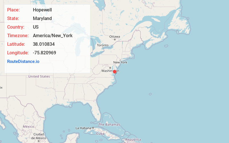
Coordinates38.010834, -75.820969
-
LocationHopewell , Maryland , US
-
TimezoneAmerica/New_York
-
Current Local Time8:56:10 PM America/New_YorkTuesday, June 17, 2025
-
Page Views0
About Hopewell
Hopewell is an unincorporated community in Somerset County, Maryland, United States. It is located at the southern intersection of Maryland routes 413 and 667. St. Peter's Methodist Episcopal Church was listed on the National Register of Historic Places in 1990.
Nearby Places
Found 10 places within 50 miles

Mariners
1.6 mi
2.6 km
Mariners, MD 21817
Get directions
Daugherty Town
2.3 mi
3.7 km
Daugherty Town, Crisfield, MD 21817
Get directions
Parsonville
2.4 mi
3.9 km
Parsonville, MD 21838
Get directions

Crisfield
2.6 mi
4.2 km
Crisfield, MD 21817
Get directions
Indian Hammock
3.0 mi
4.8 km
Indian Hammock, MD 21838
Get directions
Marion Station
3.4 mi
5.5 km
Marion Station, MD 21838
Get directions

Frenchtown-Rumbly
5.2 mi
8.4 km
Frenchtown-Rumbly, MD
Get directions
Fairmount
5.5 mi
8.9 km
Fairmount, MD 21871
Get directions
Landonville
6.2 mi
10.0 km
Landonville, Fairmount, MD 21871
Get directions
Marumsco
7.4 mi
11.9 km
Marumsco, MD 21838
Get directions
Location Links
Local Weather
Weather Information
Coming soon!
Location Map
Static map view of Hopewell, Maryland
Browse Places by Distance
Places within specific distances from Hopewell
Short Distances
Long Distances
Click any distance to see all places within that range from Hopewell. Distances shown in miles (1 mile ≈ 1.61 kilometers).