Distance to Hopland, California

Calculating Your Route
Just a moment while we process your request...
Location Information
-
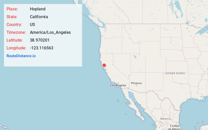
Full AddressHopland, CA 95449
-
Coordinates38.9702008, -123.1165625
-
LocationHopland , California , US
-
TimezoneAmerica/Los_Angeles
-
Current Local Time9:21:31 PM America/Los_AngelesSunday, June 22, 2025
-
Page Views0
About Hopland
Hopland is a census-designated place in Mendocino County, California, United States. It is located on the west bank of the Russian River, 13 miles south-southeast of Ukiah, in the Sanel Valley, at an elevation of 502 feet. The population was 661 at the 2020 census, down from 756 at the 2010 census.


Nearby Places
Found 10 places within 50 miles

Talmage
11.6 mi
18.7 km
Talmage, CA 95482
Get directions

Lakeport
11.9 mi
19.2 km
Lakeport, CA 95453
Get directions

Cloverdale
12.6 mi
20.3 km
Cloverdale, CA 95425
Get directions

North Lakeport
13.4 mi
21.6 km
North Lakeport, CA 95453
Get directions

Kelseyville
14.9 mi
24.0 km
Kelseyville, CA 95451
Get directions

Nice
17.9 mi
28.8 km
Nice, CA
Get directions

Lucerne
19.1 mi
30.7 km
Lucerne, CA 95458
Get directions

Redwood Valley
20.9 mi
33.6 km
Redwood Valley, CA 95470
Get directions

Sea Ranch
25.3 mi
40.7 km
Sea Ranch, CA
Get directions

Clearlake
26.1 mi
42.0 km
Clearlake, CA
Get directions
Location Links
Local Weather
Weather Information
Coming soon!
Location Map
Static map view of Hopland, California
Browse Places by Distance
Places within specific distances from Hopland
Short Distances
Long Distances
Click any distance to see all places within that range from Hopland. Distances shown in miles (1 mile ≈ 1.61 kilometers).