Distance to Hopson, Kentucky

Calculating Your Route
Just a moment while we process your request...
Location Information
-
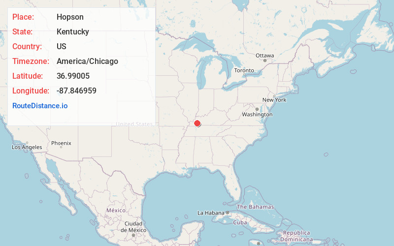
Full AddressHopson, KY 42445
-
Coordinates36.9900496, -87.8469594
-
LocationKentucky , US
-
TimezoneAmerica/Chicago
-
Current Local Time5:49:39 PM America/ChicagoMonday, June 16, 2025
-
Page Views0
About Hopson
Hopson is an unincorporated community in Caldwell County, Kentucky, United States. It consists of only a few residences; the general store once recently operating there, has been closed since 2014.
Nearby Places
Found 10 places within 50 miles

McGowan
4.7 mi
7.6 km
McGowan, KY 42445
Get directions

Cerulean
7.8 mi
12.6 km
Cerulean, KY 42215
Get directions
Confederate
8.3 mi
13.4 km
Confederate, KY 42038
Get directions

Princeton
8.5 mi
13.7 km
Princeton, KY 42445
Get directions

Cadiz
8.7 mi
14.0 km
Cadiz, KY 42211
Get directions
Gracey
12.8 mi
20.6 km
Gracey, KY 42232
Get directions

Eddyville
14.8 mi
23.8 km
Eddyville, KY
Get directions

Dawson Springs
14.9 mi
24.0 km
Dawson Springs, KY 42408
Get directions
Carmack
15.0 mi
24.1 km
Carmack, KY 42055
Get directions
Farmersville
15.1 mi
24.3 km
Farmersville, KY 42445
Get directions
Location Links
Local Weather
Weather Information
Coming soon!
Location Map
Static map view of Hopson, Kentucky
Browse Places by Distance
Places within specific distances from Hopson
Short Distances
Long Distances
Click any distance to see all places within that range from Hopson. Distances shown in miles (1 mile ≈ 1.61 kilometers).