Distance to Hopson, Mississippi

Calculating Your Route
Just a moment while we process your request...
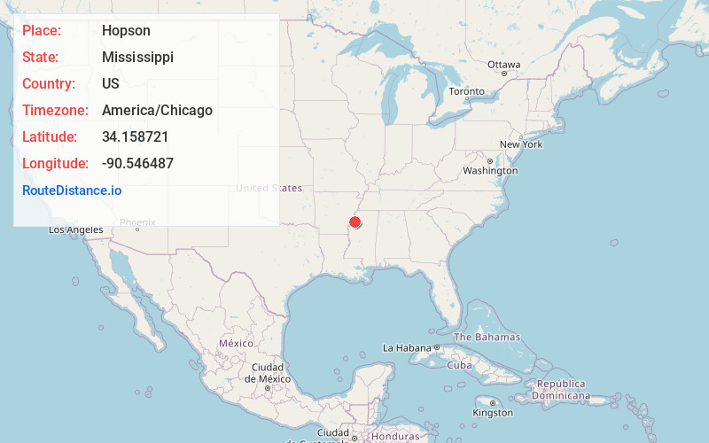
Location Information
-
Full AddressHopson, Clarksdale, MS 38614
-
Coordinates34.1587206, -90.5464867
-
LocationClarksdale , Mississippi , US
-
TimezoneAmerica/Chicago
-
Current Local Time8:43:28 AM America/ChicagoTuesday, June 17, 2025
-
Page Views0
About Hopson
Hopson is an unincorporated community located in Coahoma County, Mississippi, United States, south of Clarksdale and U.S. Route 61 along U.S. Route 49. Hopson is located on the former Yazoo and Mississippi Valley Railroad. A post office operated under the name Hopson from 1857 to 1867.
Nearby Places
Found 10 places within 50 miles

Lurand
1.9 mi
3.1 km
Lurand, MS 38614
Get directions
Boone
2.1 mi
3.4 km
Boone, MS 38614
Get directions

Clarksdale
3.2 mi
5.1 km
Clarksdale, MS
Get directions

Lyon
4.1 mi
6.6 km
Lyon, MS
Get directions
Mattson
4.7 mi
7.6 km
Mattson, MS 38614
Get directions
Beverly
5.6 mi
9.0 km
Beverly, MS 38614
Get directions
Counts
6.2 mi
10.0 km
Counts, MS 38614
Get directions

Dublin
6.8 mi
10.9 km
Dublin, MS
Get directions

Leaflet © OpenStreetMap contributors
Location Links
Local Weather
Weather Information
Coming soon!
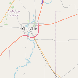
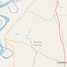
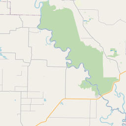
Location Map
Static map view of Hopson, Mississippi
Browse Places by Distance
Places within specific distances from Hopson
Short Distances
Long Distances
Click any distance to see all places within that range from Hopson. Distances shown in miles (1 mile ≈ 1.61 kilometers).