Distance to Horseshoe Bend, Arizona

Calculating Your Route
Just a moment while we process your request...
Location Information
-
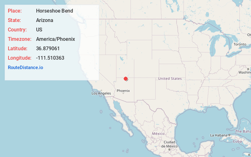
Full AddressHorseshoe Bend, Arizona 86040
-
Coordinates36.8790612, -111.5103627
-
LocationArizona , US
-
TimezoneAmerica/Phoenix
-
Current Local Time10:34:27 PM America/PhoenixSunday, June 29, 2025
-
Page Views0


Nearby Places
Found 10 places within 50 miles

Ferry Swale Canyon
1.6 mi
2.6 km
Ferry Swale Canyon, Arizona 86036
Get directions

Page
3.9 mi
6.3 km
Page, AZ
Get directions

Lechee
4.1 mi
6.6 km
Lechee, AZ 86040
Get directions

Lake Powell
4.4 mi
7.1 km
Lake Powell, AZ 86040
Get directions

Antelope Canyon
7.6 mi
12.2 km
Antelope Canyon, Arizona 86040
Get directions

Marble Canyon
8.3 mi
13.4 km
Marble Canyon, AZ 86036
Get directions

Big Water
16.4 mi
26.4 km
Big Water, UT 84741
Get directions

Vermilion Cliffs National Monument
17.5 mi
28.2 km
Vermilion Cliffs National Monument, Marble Canyon, AZ 86036
Get directions

Bitter Springs
19.1 mi
30.7 km
Bitter Springs, AZ
Get directions

Kaibito
31.0 mi
49.9 km
Kaibito, AZ 86053
Get directions
Location Links
Local Weather
Weather Information
Coming soon!
Location Map
Static map view of Horseshoe Bend, Arizona
Browse Places by Distance
Places within specific distances from Horseshoe Bend
Short Distances
Long Distances
Click any distance to see all places within that range from Horseshoe Bend. Distances shown in miles (1 mile ≈ 1.61 kilometers).