Distance to Horseshoe Bend, Idaho

Calculating Your Route
Just a moment while we process your request...
Location Information
-
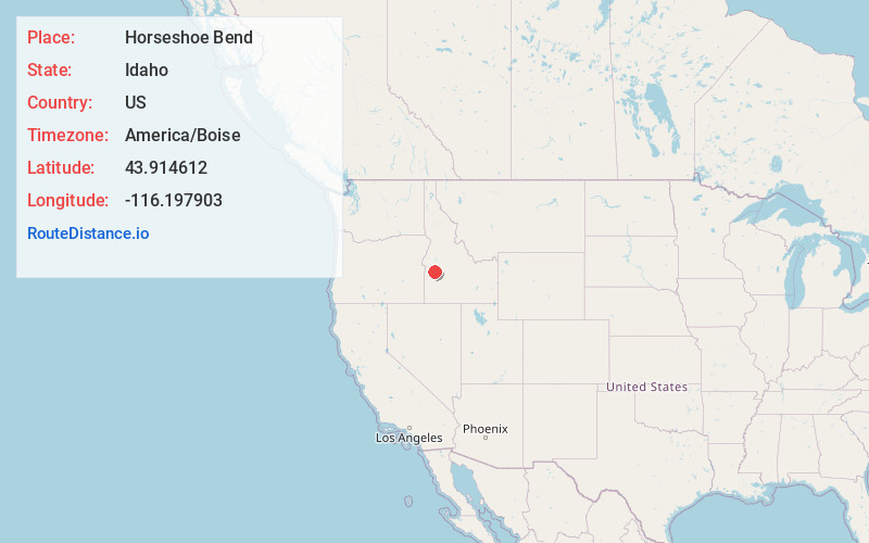
Full AddressHorseshoe Bend, ID 83629
-
Coordinates43.9146123, -116.1979025
-
LocationHorseshoe Bend , Idaho , US
-
TimezoneAmerica/Boise
-
Current Local Time9:37:07 AM America/BoiseSaturday, June 7, 2025
-
Page Views0
About Horseshoe Bend
Horseshoe Bend is the largest city in rural Boise County, in the southwestern part of the U.S. state of Idaho. Its population of 707 at the 2010 census was the largest in the county, though down from 770 in 2000.
It is part of the Boise City–Nampa, Idaho Metropolitan Statistical Area.


Nearby Places
Found 10 places within 50 miles

Hidden Springs
13.8 mi
22.2 km
Hidden Springs, ID 83714
Get directions

Emmett
15.3 mi
24.6 km
Emmett, ID 83617
Get directions

Eagle
17.0 mi
27.4 km
Eagle, ID
Get directions

Garden City
20.3 mi
32.7 km
Garden City, ID
Get directions

Boise
20.7 mi
33.3 km
Boise, ID
Get directions

Star
21.3 mi
34.3 km
Star, ID
Get directions

Robie Creek
21.9 mi
35.2 km
Robie Creek, ID 83716
Get directions

Meridian
23.0 mi
37.0 km
Meridian, ID
Get directions

Nampa
29.4 mi
47.3 km
Nampa, ID
Get directions

Caldwell
30.0 mi
48.3 km
Caldwell, ID
Get directions
Location Links
Local Weather
Weather Information
Coming soon!
Location Map
Static map view of Horseshoe Bend, Idaho
Browse Places by Distance
Places within specific distances from Horseshoe Bend
Short Distances
Long Distances
Click any distance to see all places within that range from Horseshoe Bend. Distances shown in miles (1 mile ≈ 1.61 kilometers).