Distance to Horseshoe Bend, Nevada

Calculating Your Route
Just a moment while we process your request...
Location Information
-
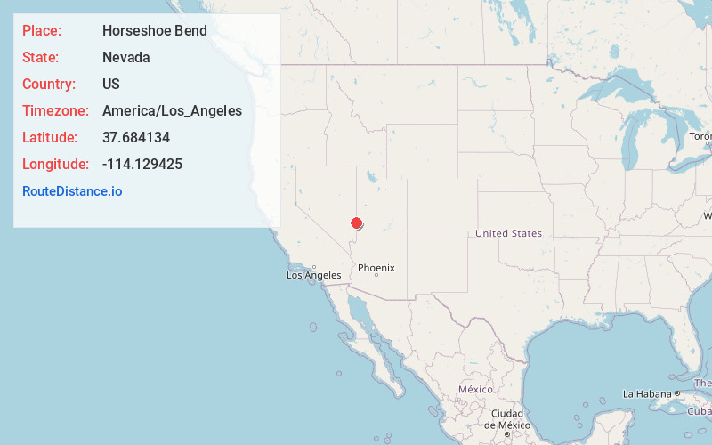
Full AddressHorseshoe Bend, NV
-
Coordinates37.6841341, -114.1294253
-
LocationNevada , US
-
TimezoneAmerica/Los_Angeles
-
Current Local Time5:44:05 AM America/Los_AngelesSunday, June 22, 2025
-
Page Views0
Nearby Places
Found 10 places within 50 miles

Crestline
1.4 mi
2.3 km
Crestline, NV
Get directions

Modena
13.7 mi
22.0 km
Modena, UT 84753
Get directions
Islen
15.0 mi
24.1 km
Islen, NV 89008
Get directions

Panaca
15.7 mi
25.3 km
Panaca, NV
Get directions
Beaverdam
17.5 mi
28.2 km
Beaverdam, NV 89008
Get directions
Bennett Springs
18.4 mi
29.6 km
Bennett Springs, NV 89008
Get directions
Heist
19.3 mi
31.1 km
Heist, UT 84714
Get directions

Caliente
21.5 mi
34.6 km
Caliente, NV 89008
Get directions

Hamlin Valley
23.4 mi
37.7 km
Hamlin Valley, UT 84753
Get directions

Enterprise
23.7 mi
38.1 km
Enterprise, UT
Get directions
Location Links
Local Weather
Weather Information
Coming soon!
Location Map
Static map view of Horseshoe Bend, Nevada
Browse Places by Distance
Places within specific distances from Horseshoe Bend
Short Distances
Long Distances
Click any distance to see all places within that range from Horseshoe Bend. Distances shown in miles (1 mile ≈ 1.61 kilometers).