Distance to Horton, Alabama

Calculating Your Route
Just a moment while we process your request...
Location Information
-
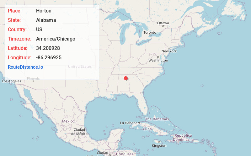
Full AddressHorton, AL 35980
-
Coordinates34.2009283, -86.2969248
-
LocationHorton , Alabama , US
-
TimezoneAmerica/Chicago
-
Current Local Time8:16:17 AM America/ChicagoSaturday, May 31, 2025
-
Page Views0
About Horton
Horton is an unincorporated community in Marshall County, Alabama, United States. Its ZIP code is 35980. As of the 2000 census, the population was approximately 4,450. The median household income was $27,536, and the per capita income was $13,342. The median value of a single-family home was $72,200.
Nearby Places
Found 10 places within 50 miles

Douglas
2.4 mi
3.9 km
Douglas, AL
Get directions

Hyatt
3.5 mi
5.6 km
Hyatt, AL 35950
Get directions
Nixon Chapel
5.0 mi
8.0 km
Nixon Chapel, AL 35980
Get directions
Lattiwood
5.0 mi
8.0 km
Lattiwood, AL 35950
Get directions
New Union
6.0 mi
9.7 km
New Union, AL 35956
Get directions
Sidney
6.7 mi
10.8 km
Sidney, AL 35976
Get directions

Albertville
6.8 mi
10.9 km
Albertville, AL
Get directions
Bristow Cove
7.4 mi
11.9 km
Bristow Cove, AL 35956
Get directions

Snead
8.0 mi
12.9 km
Snead, AL 35952
Get directions

Boaz
8.3 mi
13.4 km
Boaz, AL
Get directions
Location Links
Local Weather
Weather Information
Coming soon!
Location Map
Static map view of Horton, Alabama
Browse Places by Distance
Places within specific distances from Horton
Short Distances
Long Distances
Click any distance to see all places within that range from Horton. Distances shown in miles (1 mile ≈ 1.61 kilometers).