Distance to Hosford, Florida

Calculating Your Route
Just a moment while we process your request...
Location Information
-
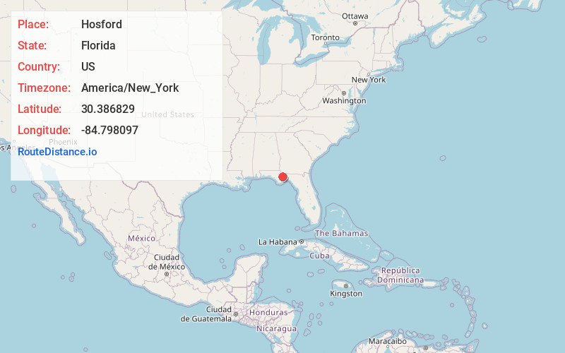
Full AddressHosford, FL 32334
-
Coordinates30.3868294, -84.7980966
-
LocationHosford , Florida , US
-
TimezoneAmerica/New_York
-
Current Local Time12:25:41 AM America/New_YorkWednesday, June 18, 2025
-
Page Views0
About Hosford
Hosford is an unincorporated community and census-designated place in Liberty County, Florida, United States. Its population was 650 as of the 2020 Census. It is located at the junction of State Road 20 and State Road 65. Hosford has a post office with ZIP Code 32334.
Nearby Places
Found 10 places within 50 miles

Bristol
11.0 mi
17.7 km
Bristol, FL 32321
Get directions

Greensboro
13.0 mi
20.9 km
Greensboro, FL
Get directions

Blountstown
15.2 mi
24.5 km
Blountstown, FL 32424
Get directions

Fort Braden
15.7 mi
25.3 km
Fort Braden, FL
Get directions

Gretna
17.8 mi
28.6 km
Gretna, FL
Get directions

Quincy
18.6 mi
29.9 km
Quincy, FL
Get directions

Midway
21.8 mi
35.1 km
Midway, FL
Get directions

Chattahoochee
22.2 mi
35.7 km
Chattahoochee, FL 32324
Get directions

Sneads
23.4 mi
37.7 km
Sneads, FL 32460
Get directions

Grand Ridge
26.1 mi
42.0 km
Grand Ridge, FL 32442
Get directions
Location Links
Local Weather
Weather Information
Coming soon!
Location Map
Static map view of Hosford, Florida
Browse Places by Distance
Places within specific distances from Hosford
Short Distances
Long Distances
Click any distance to see all places within that range from Hosford. Distances shown in miles (1 mile ≈ 1.61 kilometers).