Distance to Howard, Georgia

Calculating Your Route
Just a moment while we process your request...
Location Information
-
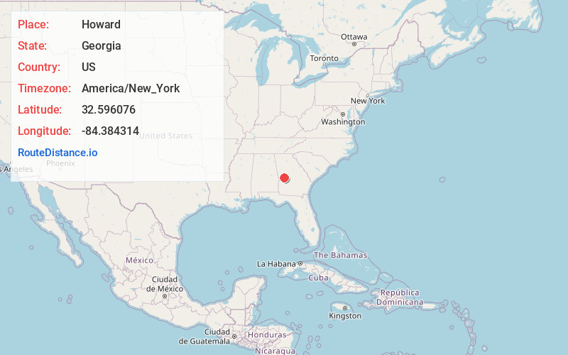
Full AddressHoward, GA
-
Coordinates32.5960761, -84.3843142
-
LocationHoward , Georgia , US
-
TimezoneAmerica/New_York
-
Current Local Time9:49:59 PM America/New_YorkSunday, May 25, 2025
-
Page Views0
About Howard
Howard is an unincorporated community and census-designated place in Taylor County, Georgia, United States. Its population was 50 as of the 2020 census.
Howard has a post office with ZIP code 31039. Georgia State Route 96 passes through the community.
Nearby Places
Found 10 places within 50 miles

Junction City
4.4 mi
7.1 km
Junction City, GA 31812
Get directions

Butler
8.9 mi
14.3 km
Butler, GA 31006
Get directions

Geneva
9.8 mi
15.8 km
Geneva, GA 31801
Get directions

Talbotton
10.6 mi
17.1 km
Talbotton, GA 31827
Get directions
Tazewell
15.3 mi
24.6 km
Tazewell, GA 31803
Get directions
Salem
16.0 mi
25.7 km
Salem, GA 31016
Get directions

Woodland
16.8 mi
27.0 km
Woodland, GA 31836
Get directions

Reynolds
17.0 mi
27.4 km
Reynolds, GA 31076
Get directions
Lincoln Park
19.0 mi
30.6 km
Lincoln Park, GA 30286
Get directions
Ideal
19.4 mi
31.2 km
Ideal, GA
Get directions
Location Links
Local Weather
Weather Information
Coming soon!
Location Map
Static map view of Howard, Georgia
Browse Places by Distance
Places within specific distances from Howard
Short Distances
Long Distances
Click any distance to see all places within that range from Howard. Distances shown in miles (1 mile ≈ 1.61 kilometers).