Distance to Howel, Kentucky

Calculating Your Route
Just a moment while we process your request...
Location Information
-
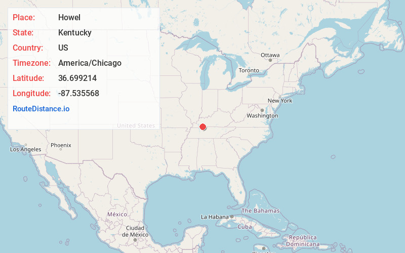
Full AddressHowel, KY 42262
-
Coordinates36.6992142, -87.5355679
-
LocationKentucky , US
-
TimezoneAmerica/Chicago
-
Current Local Time9:24:58 AM America/ChicagoFriday, May 30, 2025
-
Page Views0
About Howel
Howel is an unincorporated community in Christian County, Kentucky, United States.
Nearby Places
Found 10 places within 50 miles

Garrettsburg
2.1 mi
3.4 km
Garrettsburg, KY 42262
Get directions

Oak Grove
5.7 mi
9.2 km
Oak Grove, KY
Get directions

Lafayette
7.3 mi
11.7 km
Lafayette, KY 42254
Get directions
Church Hill
7.4 mi
11.9 km
Church Hill, KY 42240
Get directions
Casky
9.9 mi
15.9 km
Casky, Hopkinsville, KY 42240
Get directions
Merrittstown
10.4 mi
16.7 km
Merrittstown, KY 42240
Get directions
Barkers Mill
10.6 mi
17.1 km
Barkers Mill, KY 42240
Get directions

Woodlawn
10.8 mi
17.4 km
Woodlawn, TN 37191
Get directions

Julien
11.1 mi
17.9 km
Julien, KY 42240
Get directions

Pembroke
11.5 mi
18.5 km
Pembroke, KY 42266
Get directions
Location Links
Local Weather
Weather Information
Coming soon!
Location Map
Static map view of Howel, Kentucky
Browse Places by Distance
Places within specific distances from Howel
Short Distances
Long Distances
Click any distance to see all places within that range from Howel. Distances shown in miles (1 mile ≈ 1.61 kilometers).