Distance to Howlands, Massachusetts

Calculating Your Route
Just a moment while we process your request...
Location Information
-
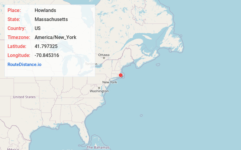
Full AddressHowlands, Rochester, MA 02770
-
Coordinates41.797325, -70.8453161
-
LocationRochester , Massachusetts , US
-
TimezoneAmerica/New_York
-
Current Local Time5:01:56 PM America/New_YorkWednesday, June 18, 2025
-
Page Views0
Nearby Places
Found 10 places within 50 miles

South Middleboro
2.1 mi
3.4 km
South Middleboro, Middleborough, MA 02346
Get directions
North Rochester
2.5 mi
4.0 km
North Rochester, Rochester, MA 02770
Get directions
Camp Snipatuit
2.6 mi
4.2 km
Camp Snipatuit, Rochester, MA 02770
Get directions

Rochester
2.9 mi
4.7 km
Rochester, MA
Get directions
Indian Shore
4.0 mi
6.4 km
Indian Shore, Lakeville, MA 02347
Get directions

Weweantic River
4.3 mi
6.9 km
Weweantic River, Massachusetts
Get directions
Pine Bluffs
4.4 mi
7.1 km
Pine Bluffs, Lakeville, MA 02347
Get directions
Camp Avoda
4.9 mi
7.9 km
Camp Avoda, Middleborough, MA 02346
Get directions
Wayside
5.0 mi
8.0 km
Wayside, Lakeville, MA 02347
Get directions
Gibbs Grove
5.0 mi
8.0 km
Gibbs Grove, Middleborough, MA 02346
Get directions
Location Links
Local Weather
Weather Information
Coming soon!
Location Map
Static map view of Howlands, Massachusetts
Browse Places by Distance
Places within specific distances from Howlands
Short Distances
Long Distances
Click any distance to see all places within that range from Howlands. Distances shown in miles (1 mile ≈ 1.61 kilometers).