Distance to Hoyt, Montana

Calculating Your Route
Just a moment while we process your request...
Location Information
-
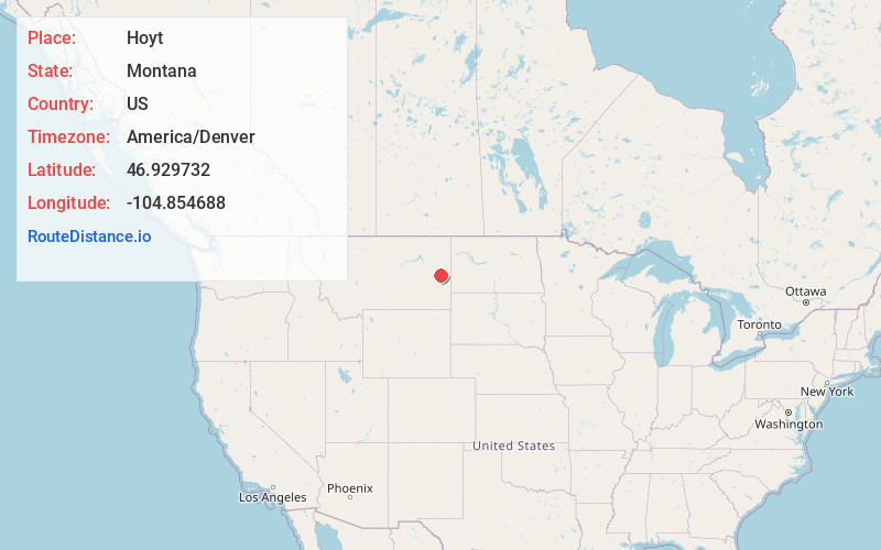
Full AddressHoyt, MT 59330
-
Coordinates46.9297321, -104.8546881
-
LocationHoyt , Montana , US
-
TimezoneAmerica/Denver
-
Current Local Time12:09:50 AM America/DenverWednesday, May 28, 2025
-
Page Views0
Nearby Places
Found 10 places within 50 miles

Marsh
4.6 mi
7.4 km
Marsh, MT 59330
Get directions
Colgate
7.3 mi
11.7 km
Colgate, MT 59330
Get directions
Pleasant View
8.2 mi
13.2 km
Pleasant View, MT 59330
Get directions

West Glendive
12.9 mi
20.8 km
West Glendive, MT 59330
Get directions
Hungry Joe
13.6 mi
21.9 km
Hungry Joe, MT 59330
Get directions

Glendive
14.0 mi
22.5 km
Glendive, MT 59330
Get directions

Fallon
14.2 mi
22.9 km
Fallon, MT
Get directions
Curry
15.4 mi
24.8 km
Curry, MT 59330
Get directions
Allard
15.5 mi
24.9 km
Allard, MT 59330
Get directions
Bluffport
16.7 mi
26.9 km
Bluffport, MT 59326
Get directions
Location Links
Local Weather
Weather Information
Coming soon!
Location Map
Static map view of Hoyt, Montana
Browse Places by Distance
Places within specific distances from Hoyt
Short Distances
Long Distances
Click any distance to see all places within that range from Hoyt. Distances shown in miles (1 mile ≈ 1.61 kilometers).