Distance to Hughey, Wisconsin

Calculating Your Route
Just a moment while we process your request...
Location Information
-
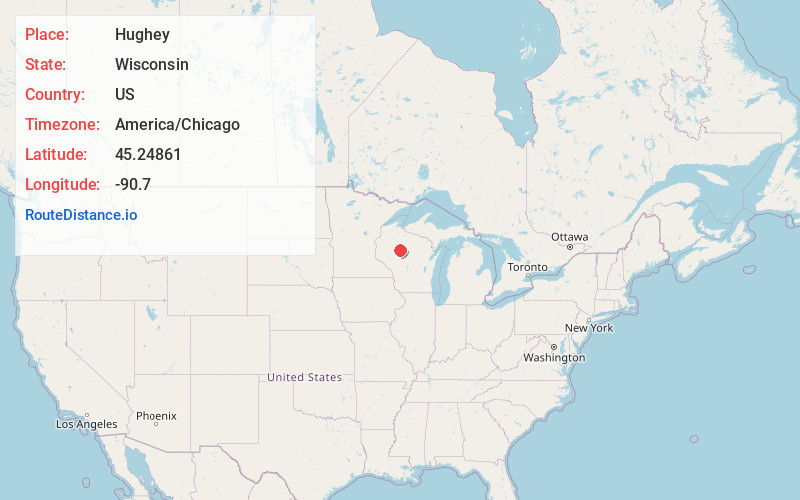
Full AddressHughey, WI 54433
-
Coordinates45.24861, -90.7
-
LocationHughey , Wisconsin , US
-
TimezoneAmerica/Chicago
-
Current Local Time4:35:27 AM America/ChicagoFriday, June 20, 2025
-
Page Views0
About Hughey
Hughey is an unpopulated spot in the town of Cleveland, Taylor County, Wisconsin, United States, where logs were once loaded from the Yellow River onto the Omaha Railway. The logging operation was shut down in the 1930s, leaving today only the railroad bed and a few foundations overgrown by brush.
Nearby Places
Found 10 places within 50 miles

Gilman
7.7 mi
12.4 km
Gilman, WI 54433
Get directions

Jump River
8.7 mi
14.0 km
Jump River, WI
Get directions
Lublin
11.9 mi
19.2 km
Lublin, WI 54447
Get directions
Sheldon
13.2 mi
21.2 km
Sheldon, WI 54766
Get directions
Ruby
14.9 mi
24.0 km
Ruby, WI 54433
Get directions
Huron
16.4 mi
26.4 km
Huron, WI 54768
Get directions
Whittlesey
18.2 mi
29.3 km
Whittlesey, WI 54451
Get directions
Hawkins
18.4 mi
29.6 km
Hawkins, WI 54530
Get directions
Ingram
18.5 mi
29.8 km
Ingram, WI 54526
Get directions

Conrath
19.0 mi
30.6 km
Conrath, WI
Get directions
Location Links
Local Weather
Weather Information
Coming soon!
Location Map
Static map view of Hughey, Wisconsin
Browse Places by Distance
Places within specific distances from Hughey
Short Distances
Long Distances
Click any distance to see all places within that range from Hughey. Distances shown in miles (1 mile ≈ 1.61 kilometers).