Distance to Hulaco, Alabama

Calculating Your Route
Just a moment while we process your request...
Location Information
-
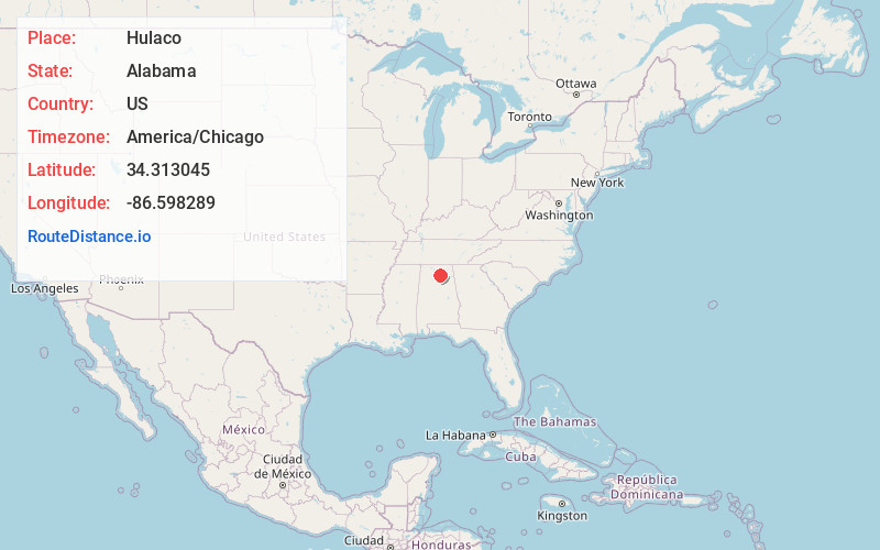
Full AddressHulaco, AL 35087
-
Coordinates34.313045, -86.598289
-
LocationHulaco , Alabama , US
-
TimezoneAmerica/Chicago
-
Current Local Time3:52:54 PM America/ChicagoSaturday, May 31, 2025
-
Page Views0
About Hulaco
Hulaco is an unincorporated community located in extreme southeastern Morgan County, Alabama, United States, and is included in the Decatur Metropolitan Area, as well as the Huntsville-Decatur Combined Statistical Area. A post office operated under the name Hulaco from 1855 to 1904
Nearby Places
Found 10 places within 50 miles

Ryan Crossroads
2.1 mi
3.4 km
Ryan Crossroads, AL 35087
Get directions

Joppa
2.5 mi
4.0 km
Joppa, AL
Get directions

Baileyton
3.6 mi
5.8 km
Baileyton, AL
Get directions
Sunset Acres
4.8 mi
7.7 km
Sunset Acres, Arab, AL 35016
Get directions

Arab
5.9 mi
9.5 km
Arab, AL 35016
Get directions
New Harmony
6.1 mi
9.8 km
New Harmony, AL 35016
Get directions
Fairview
6.7 mi
10.8 km
Fairview, AL 35058
Get directions
Thrasher Crossroads
7.1 mi
11.4 km
Thrasher Crossroads, AL 35016
Get directions
Oleander
8.0 mi
12.9 km
Oleander, AL 35175
Get directions
Hopewell
8.4 mi
13.5 km
Hopewell, AL 35016
Get directions
Location Links
Local Weather
Weather Information
Coming soon!
Location Map
Static map view of Hulaco, Alabama
Browse Places by Distance
Places within specific distances from Hulaco
Short Distances
Long Distances
Click any distance to see all places within that range from Hulaco. Distances shown in miles (1 mile ≈ 1.61 kilometers).