Distance to Hull, Massachusetts

Calculating Your Route
Just a moment while we process your request...
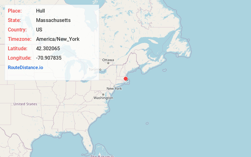
Location Information
-
Full AddressHull, MA
-
Coordinates42.3020647, -70.9078346
-
LocationHull , Massachusetts , US
-
TimezoneAmerica/New_York
-
Current Local Time4:44:24 PM America/New_YorkWednesday, June 18, 2025
-
Page Views0
About Hull
Hull is a town in Plymouth County, Massachusetts, United States, located on a peninsula at the southern edge of Boston Harbor. Its population was 10,072 at the 2020 census. Hull is the smallest town by land area in Plymouth County and the eleventh smallest in the state.


Nearby Places
Found 10 places within 50 miles

Hingham
4.3 mi
6.9 km
Hingham, MA
Get directions

Quincy
6.0 mi
9.7 km
Quincy, MA
Get directions

Weymouth
6.0 mi
9.7 km
Weymouth, MA
Get directions

Winthrop
6.4 mi
10.3 km
Winthrop, MA
Get directions

Braintree
8.2 mi
13.2 km
Braintree, MA
Get directions

Boston
8.4 mi
13.5 km
Boston, MA
Get directions

Milton
8.9 mi
14.3 km
Milton, MA
Get directions

Chelsea
8.9 mi
14.3 km
Chelsea, MA 02150
Get directions

Revere
9.1 mi
14.6 km
Revere, MA
Get directions

Scituate
10.2 mi
16.4 km
Scituate, MA
Get directions
Location Links
Local Weather
Weather Information
Coming soon!
Location Map
Static map view of Hull, Massachusetts
Browse Places by Distance
Places within specific distances from Hull
Short Distances
Long Distances
Click any distance to see all places within that range from Hull. Distances shown in miles (1 mile ≈ 1.61 kilometers).