Distance to Humboldt, Minnesota

Calculating Your Route
Just a moment while we process your request...
Location Information
-
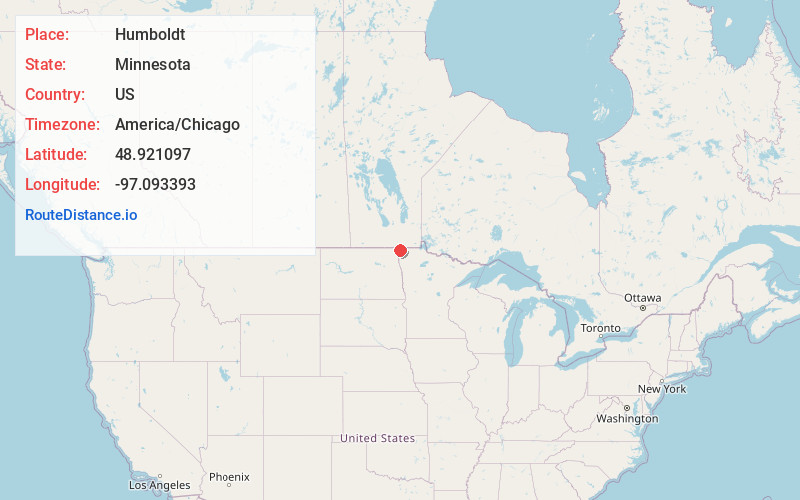
Full AddressHumboldt, MN 56731
-
Coordinates48.9210965, -97.0933932
-
LocationHumboldt , Minnesota , US
-
TimezoneAmerica/Chicago
-
Current Local Time6:10:31 PM America/ChicagoMonday, June 16, 2025
-
Page Views0
About Humboldt
Humboldt is a city in Kittson County, Minnesota, United States. The population was 41 at the 2020 census.
Nearby Places
Found 10 places within 50 miles

St Vincent
6.8 mi
10.9 km
St Vincent, MN 56755
Get directions

Pembina
7.5 mi
12.1 km
Pembina, ND 58271
Get directions

Hallock
12.1 mi
19.5 km
Hallock, MN 56728
Get directions

Lancaster
13.8 mi
22.2 km
Lancaster, MN 56735
Get directions
Bathgate
17.7 mi
28.5 km
Bathgate, ND 58216
Get directions
Kennedy
20.9 mi
33.6 km
Kennedy, MN 56733
Get directions

Neche
21.4 mi
34.4 km
Neche, ND 58265
Get directions
Lake Bronson
23.4 mi
37.7 km
Lake Bronson, MN 56734
Get directions
Drayton
24.5 mi
39.4 km
Drayton, ND 58225
Get directions
Cavalier
25.6 mi
41.2 km
Cavalier, ND 58220
Get directions
Location Links
Local Weather
Weather Information
Coming soon!
Location Map
Static map view of Humboldt, Minnesota
Browse Places by Distance
Places within specific distances from Humboldt
Short Distances
Long Distances
Click any distance to see all places within that range from Humboldt. Distances shown in miles (1 mile ≈ 1.61 kilometers).