Distance to Humboldt Township, Michigan

Calculating Your Route
Just a moment while we process your request...
Location Information
-
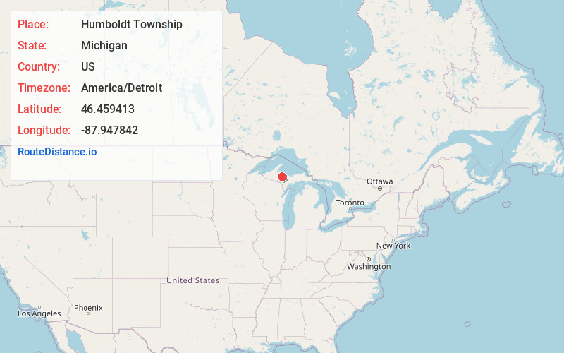
Full AddressHumboldt Township, MI
-
Coordinates46.4594134, -87.9478418
-
LocationHumboldt Township , Michigan , US
-
TimezoneAmerica/Detroit
-
Current Local Time2:43:33 AM America/DetroitTuesday, June 3, 2025
-
Page Views0
About Humboldt Township
Humboldt Township is a civil township of Marquette County in the U.S. state of Michigan. The population was 413 at the 2020 census, down from 464 in 2010.


Nearby Places
Found 10 places within 50 miles

Wobic
3.0 mi
4.8 km
Wobic, MI 49814
Get directions
Humboldt
3.8 mi
6.1 km
Humboldt, MI 49814
Get directions

Republic
3.9 mi
6.3 km
Republic, MI 49879
Get directions
Beacon
3.9 mi
6.3 km
Beacon, MI 49814
Get directions
Clowry
5.0 mi
8.0 km
Clowry, MI 49814
Get directions
Clarksburg
5.1 mi
8.2 km
Clarksburg, MI 49814
Get directions
Martins Landing
5.6 mi
9.0 km
Martins Landing, MI 49814
Get directions
Diorite
6.6 mi
10.6 km
Diorite, MI 49849
Get directions
Snowville
6.7 mi
10.8 km
Snowville, MI 49814
Get directions

Michigamme Township
7.4 mi
11.9 km
Michigamme Township, MI
Get directions
Location Links
Local Weather
Weather Information
Coming soon!
Location Map
Static map view of Humboldt Township, Michigan
Browse Places by Distance
Places within specific distances from Humboldt Township
Short Distances
Long Distances
Click any distance to see all places within that range from Humboldt Township. Distances shown in miles (1 mile ≈ 1.61 kilometers).