Distance to Humboldt, South Dakota

Calculating Your Route
Just a moment while we process your request...
Location Information
-
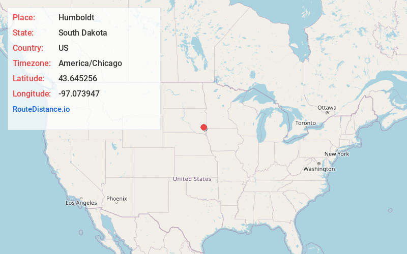
Full AddressHumboldt, SD 57035
-
Coordinates43.6452557, -97.0739466
-
LocationHumboldt , South Dakota , US
-
TimezoneAmerica/Chicago
-
Current Local Time5:57:53 PM America/ChicagoSaturday, May 31, 2025
-
Page Views0
About Humboldt
Humboldt is a town in Minnehaha County, South Dakota, United States. The population was 579 at the 2020 census.
Nearby Places
Found 10 places within 50 miles

Hartford
6.7 mi
10.8 km
Hartford, SD 57033
Get directions

Canistota
11.3 mi
18.2 km
Canistota, SD 57012
Get directions

Colton
12.2 mi
19.6 km
Colton, SD 57018
Get directions
Crooks
13.2 mi
21.2 km
Crooks, SD
Get directions

Salem
16.7 mi
26.9 km
Salem, SD 57058
Get directions

Parker
17.4 mi
28.0 km
Parker, SD 57053
Get directions
Marion
18.0 mi
29.0 km
Marion, SD 57043
Get directions

Tea
18.2 mi
29.3 km
Tea, SD 57064
Get directions

Sioux Falls
18.5 mi
29.8 km
Sioux Falls, SD
Get directions

Baltic
18.5 mi
29.8 km
Baltic, SD 57003
Get directions
Location Links
Local Weather
Weather Information
Coming soon!
Location Map
Static map view of Humboldt, South Dakota
Browse Places by Distance
Places within specific distances from Humboldt
Short Distances
Long Distances
Click any distance to see all places within that range from Humboldt. Distances shown in miles (1 mile ≈ 1.61 kilometers).