Distance to Humbug, Arizona

Calculating Your Route
Just a moment while we process your request...
Location Information
-
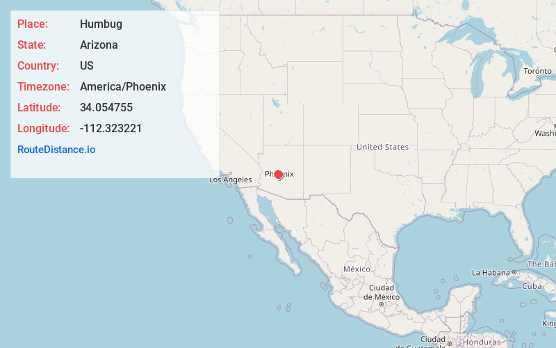
Full AddressHumbug, AZ 85342
-
Coordinates34.0547545, -112.3232213
-
LocationArizona , US
-
TimezoneAmerica/Phoenix
-
Current Local Time5:21:33 AM America/PhoenixWednesday, June 18, 2025
-
Page Views0
About Humbug
Humbug, also known as Humburg, is a populated place situated in Yavapai County, Arizona, United States. The community was named after Humbug Creek.
Nearby Places
Found 10 places within 50 miles

Castle Hot Springs
5.4 mi
8.7 km
Castle Hot Springs, AZ 85342
Get directions

Burro John
5.7 mi
9.2 km
Burro John, AZ 86343
Get directions
Fort Misery
6.4 mi
10.3 km
Fort Misery, AZ 86343
Get directions

Copperopolis Mine
8.3 mi
13.4 km
Copperopolis Mine, Arizona 85342
Get directions
Lehman Mill
8.5 mi
13.7 km
Lehman Mill, AZ 85342
Get directions
Gillette
9.5 mi
15.3 km
Gillette, AZ 85324
Get directions
Lapham
9.8 mi
15.8 km
Lapham, AZ 86343
Get directions
Big Reef Mill
11.2 mi
18.0 km
Big Reef Mill, AZ 85342
Get directions

Black Canyon City
11.2 mi
18.0 km
Black Canyon City, AZ 85324
Get directions

New River
14.4 mi
23.2 km
New River, AZ
Get directions
Location Links
Local Weather
Weather Information
Coming soon!
Location Map
Static map view of Humbug, Arizona
Browse Places by Distance
Places within specific distances from Humbug
Short Distances
Long Distances
Click any distance to see all places within that range from Humbug. Distances shown in miles (1 mile ≈ 1.61 kilometers).