Distance to Hummelstown, Pennsylvania

Calculating Your Route
Just a moment while we process your request...
Location Information
-
Full AddressHummelstown, PA 17036
-
Coordinates40.2653681, -76.7083033
-
LocationHummelstown , Pennsylvania , US
-
TimezoneAmerica/New_York
-
Current Local Time1:18:50 PM America/New_YorkThursday, June 19, 2025
-
Website
-
Page Views0
About Hummelstown
Hummelstown is a borough in Dauphin County, Pennsylvania, United States. The population was 4,535 as of the 2020 census. It is part of the Harrisburg metropolitan area.
Originally named Fredrickstown, the town was established in 1762.


Nearby Places
Found 10 places within 50 miles

South Hanover Township
2.4 mi
3.9 km
South Hanover Township, PA
Get directions
Rutherford
3.2 mi
5.1 km
Rutherford, PA
Get directions

Hershey
3.4 mi
5.5 km
Hershey, PA
Get directions

Middletown
4.7 mi
7.6 km
Middletown, PA 17057
Get directions
Lawnton
5.1 mi
8.2 km
Lawnton, PA 17111
Get directions

Skyline View
5.2 mi
8.4 km
Skyline View, PA 17112
Get directions

Lower Paxton Township
5.4 mi
8.7 km
Lower Paxton Township, PA
Get directions

Swatara Township
5.5 mi
8.9 km
Swatara Township, PA
Get directions
Paxtonia
5.8 mi
9.3 km
Paxtonia, PA 17112
Get directions
Colonial Park
5.9 mi
9.5 km
Colonial Park, PA
Get directions
Location Links
Local Weather
Weather Information
Coming soon!
Location Map
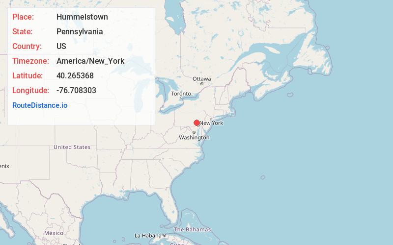
Static map view of Hummelstown, Pennsylvania
Browse Places by Distance
Places within specific distances from Hummelstown
Short Distances
Long Distances
Click any distance to see all places within that range from Hummelstown. Distances shown in miles (1 mile ≈ 1.61 kilometers).