Distance to Humphreys Station, California

Calculating Your Route
Just a moment while we process your request...
Location Information
-
Full AddressHumphreys Station, CA 93667
-
Coordinates36.960384, -119.443382
-
LocationHumphreys Station , California , US
-
TimezoneAmerica/Los_Angeles
-
Current Local Time8:31:34 AM America/Los_AngelesWednesday, May 21, 2025
-
Page Views0
About Humphreys Station
Humphreys Station is an unincorporated community in Fresno County, California. It is located 23 miles northeast of Fresno.
The name honors pioneer John W. Humphreys.
John and his brother Miles Humphreys opened a store at the site after the Civil War.
Nearby Places
Found 10 places within 50 miles

Auberry
8.6 mi
13.8 km
Auberry, CA
Get directions

Pine Flat Lake
11.1 mi
17.9 km
Pine Flat Lake, California 93657
Get directions

Shaver Lake
12.2 mi
19.6 km
Shaver Lake, CA
Get directions

Millerton Lake
14.0 mi
22.5 km
Millerton Lake, California 93626
Get directions

Friant
14.9 mi
24.0 km
Friant, CA 93626
Get directions

Centerville
15.9 mi
25.6 km
Centerville, CA 93657
Get directions

Minkler
16.0 mi
25.7 km
Minkler, CA 93657
Get directions

Clovis
17.1 mi
27.5 km
Clovis, CA
Get directions
Tarpey Village
18.3 mi
29.5 km
Tarpey Village, CA
Get directions
Fort Washington
18.5 mi
29.8 km
Fort Washington, CA 93720
Get directions
Location Links
Local Weather
Weather Information
Coming soon!
Location Map
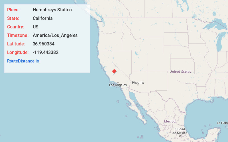
Static map view of Humphreys Station, California
Browse Places by Distance
Places within specific distances from Humphreys Station
Short Distances
Long Distances
Click any distance to see all places within that range from Humphreys Station. Distances shown in miles (1 mile ≈ 1.61 kilometers).