Distance to Huntington, Missouri

Calculating Your Route
Just a moment while we process your request...
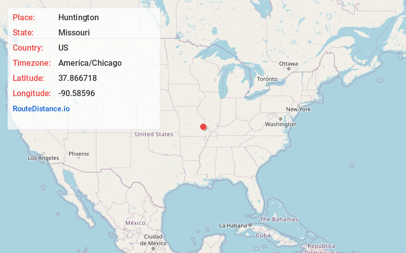
Location Information
-
Full AddressHuntington, Leadwood, MO 63653
-
Coordinates37.8667175, -90.5859595
-
LocationLeadwood , Missouri , US
-
TimezoneAmerica/Chicago
-
Current Local Time6:19:19 PM America/ChicagoWednesday, June 18, 2025
-
Page Views0
Nearby Places
Found 10 places within 50 miles

Leadwood
0.4 mi
0.6 km
Leadwood, MO
Get directions
Mitchell
1.4 mi
2.3 km
Mitchell, Randolph Township, MO 63601
Get directions
Frankclay
1.6 mi
2.6 km
Frankclay, MO 63601
Get directions
Davis
3.1 mi
5.0 km
Davis, Randolph Township, MO 63601
Get directions

Desloge
3.2 mi
5.1 km
Desloge, MO
Get directions

Terre Du Lac
3.8 mi
6.1 km
Terre Du Lac, Terre du Lac, MO 63628
Get directions

Park Hills
3.8 mi
6.1 km
Park Hills, MO
Get directions
Derby
3.9 mi
6.3 km
Derby, Randolph Township, MO 63601
Get directions

Bonne Terre
4.2 mi
6.8 km
Bonne Terre, MO 63628
Get directions

Irondale
5.1 mi
8.2 km
Irondale, MO
Get directions
Location Links
Local Weather
Weather Information
Coming soon!
Location Map
Static map view of Huntington, Missouri
Browse Places by Distance
Places within specific distances from Huntington
Short Distances
Long Distances
Click any distance to see all places within that range from Huntington. Distances shown in miles (1 mile ≈ 1.61 kilometers).