Distance to Huntley, Minnesota

Calculating Your Route
Just a moment while we process your request...
Location Information
-
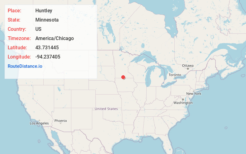
Full AddressHuntley, MN
-
Coordinates43.7314449, -94.2374046
-
LocationHuntley , Minnesota , US
-
TimezoneAmerica/Chicago
-
Current Local Time8:00:32 AM America/ChicagoWednesday, June 18, 2025
-
Page Views0
About Huntley
Huntley is an unincorporated community in Faribault County, Minnesota, United States. Huntley is 4.5 miles southwest of Winnebago. Huntley has a post office with ZIP code 56047.
Nearby Places
Found 10 places within 50 miles

Winnebago
4.4 mi
7.1 km
Winnebago, MN 56098
Get directions

Guckeen
5.5 mi
8.9 km
Guckeen, MN 56013
Get directions
Granada
6.1 mi
9.8 km
Granada, MN 56039
Get directions
Nashville Center
7.9 mi
12.7 km
Nashville Center, Nashville Township, MN 56088
Get directions

Blue Earth
9.4 mi
15.1 km
Blue Earth, MN 56013
Get directions

Northrop
9.9 mi
15.9 km
Northrop, MN 56031
Get directions
Delavan
11.2 mi
18.0 km
Delavan, MN 56023
Get directions
Amboy
11.5 mi
18.5 km
Amboy, MN 56010
Get directions
Truman
12.0 mi
19.3 km
Truman, MN 56088
Get directions

Fairmont
12.4 mi
20.0 km
Fairmont, MN 56031
Get directions
Location Links
Local Weather
Weather Information
Coming soon!
Location Map
Static map view of Huntley, Minnesota
Browse Places by Distance
Places within specific distances from Huntley
Short Distances
Long Distances
Click any distance to see all places within that range from Huntley. Distances shown in miles (1 mile ≈ 1.61 kilometers).